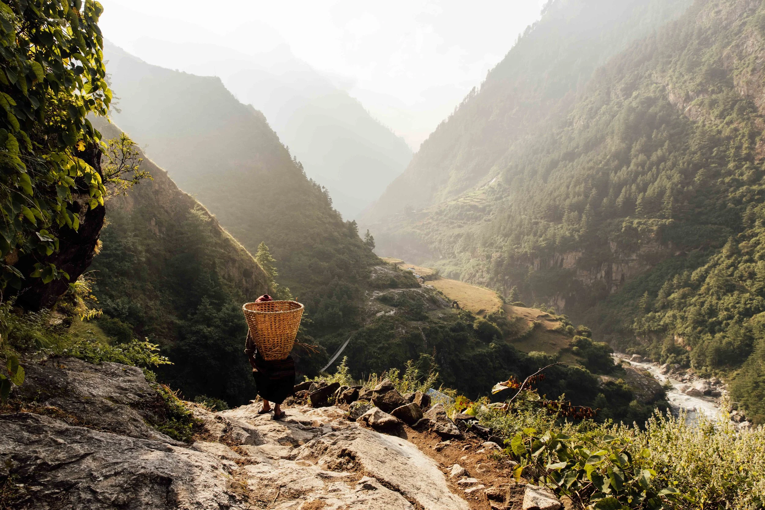
The valley Nepal only opened in 1991
Manaslu Circuit Trek
Machha Khola to Tilje, Nepal · 2024
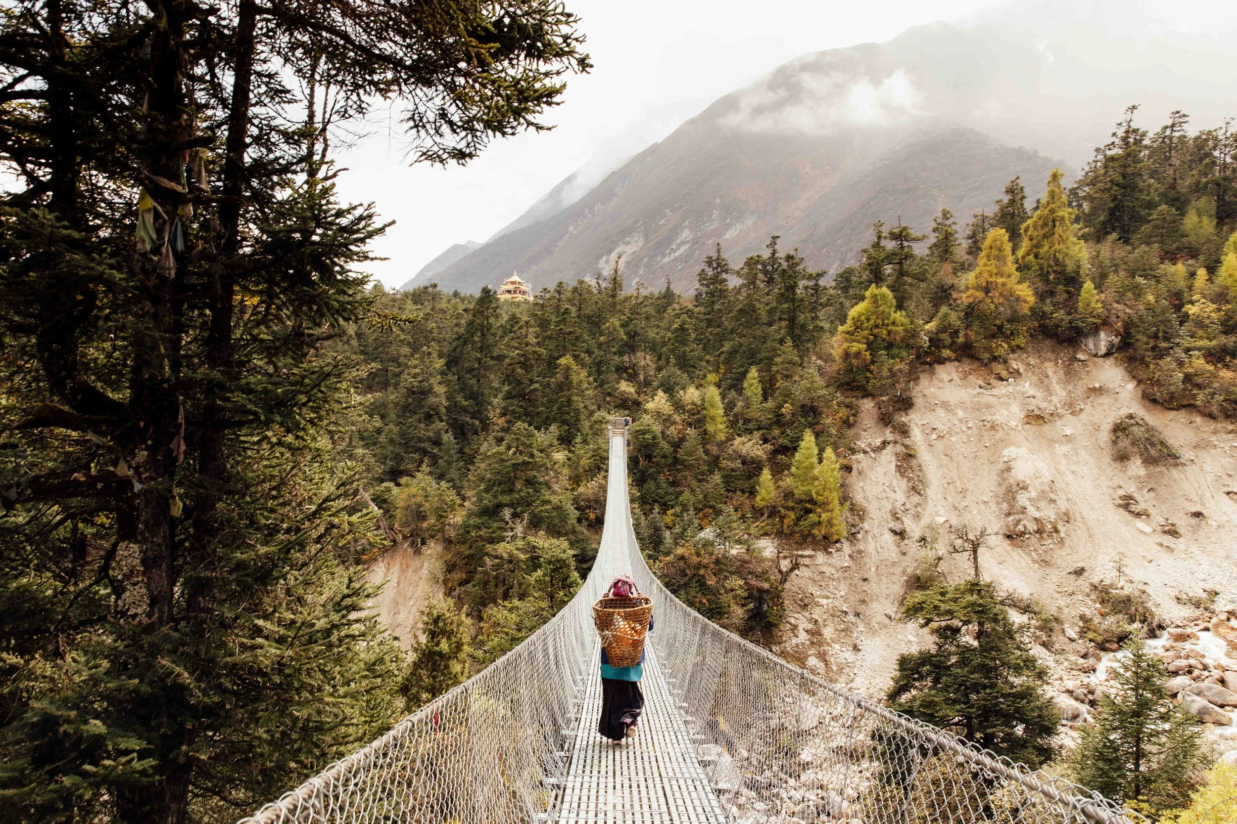
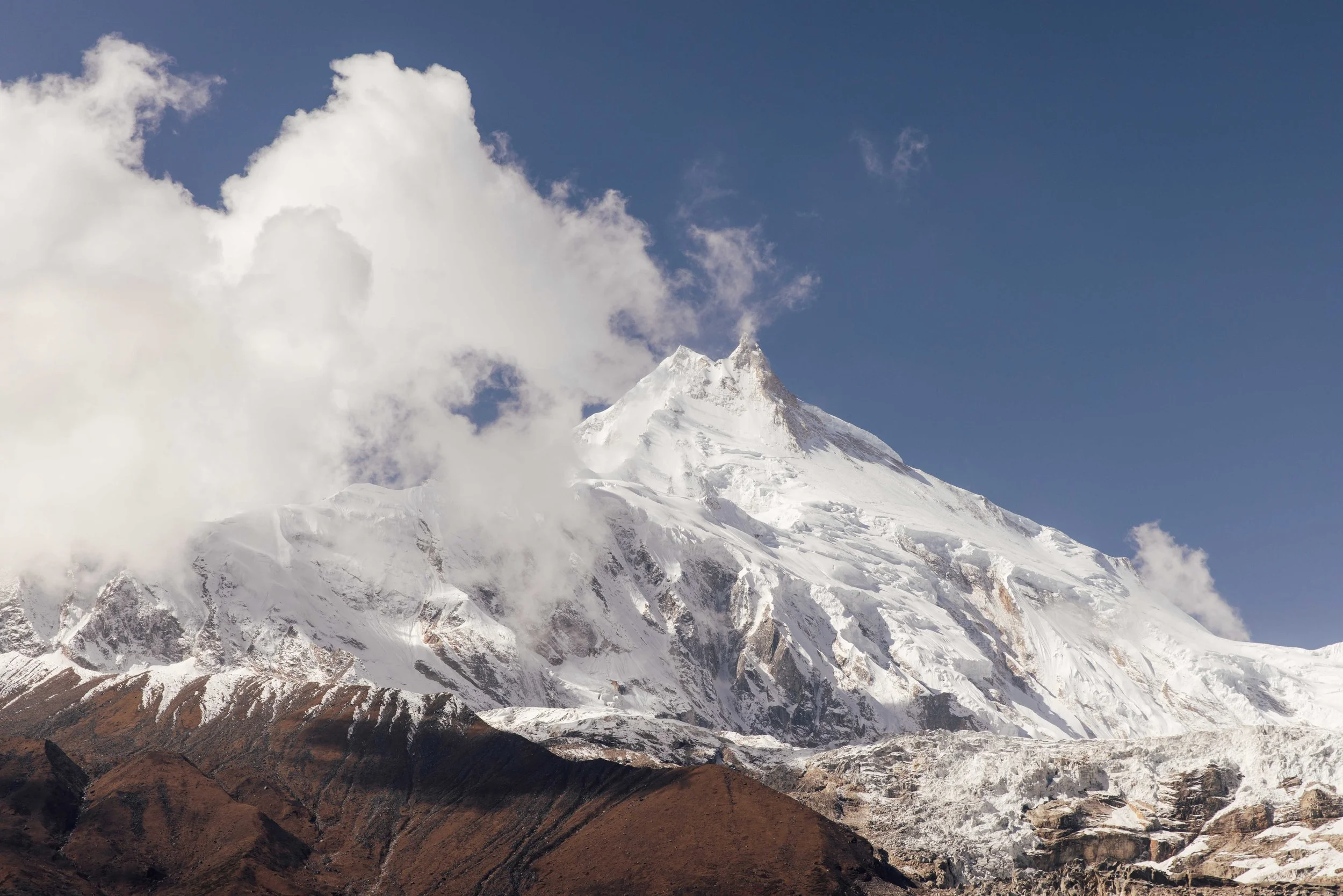
In 2024 I spent two weeks on the Manaslu Circuit Trek, a trail through Nepal that only opened to foreigners in 1991. The trail crosses dozens of suspension bridges over the rivers below. As we gained altitude, the ground changed from dry trail dust to snow. The higher sections of the route run past some of the tallest peaks in the Himalayas, including Manaslu itself, the eighth highest mountain in the world. Here's how those two weeks actually went, told through the photographs I took along the way.
The Manaslu Circuit runs roughly 180 kilometres and takes most people 14 to 16 days on the trail. You follow the Budhi Gandaki river north from the Gorkha lowlands, climb through the Nubri valley to the Tibetan border country, cross the Larkya La at around 5,106 metres, then drop down the far side into the Marsyangdi valley and join the tail end of the Annapurna Circuit at Dharapani.
For years this route was the answer trekkers gave when you asked them what the Annapurna Circuit used to feel like. It still mostly is. The trail was only opened to foreigners in 1991, it sits inside a government restricted area, and it requires a licensed guide. All of that has kept the numbers down. If you want a Himalayan crossing with a genuine high pass, deep Tibetan Buddhist culture and teahouses where the family still eats in the same room as you, this is the one.
The Trail
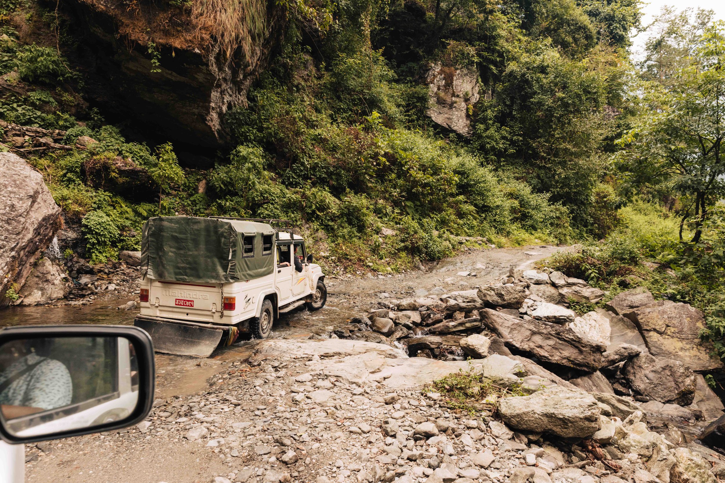
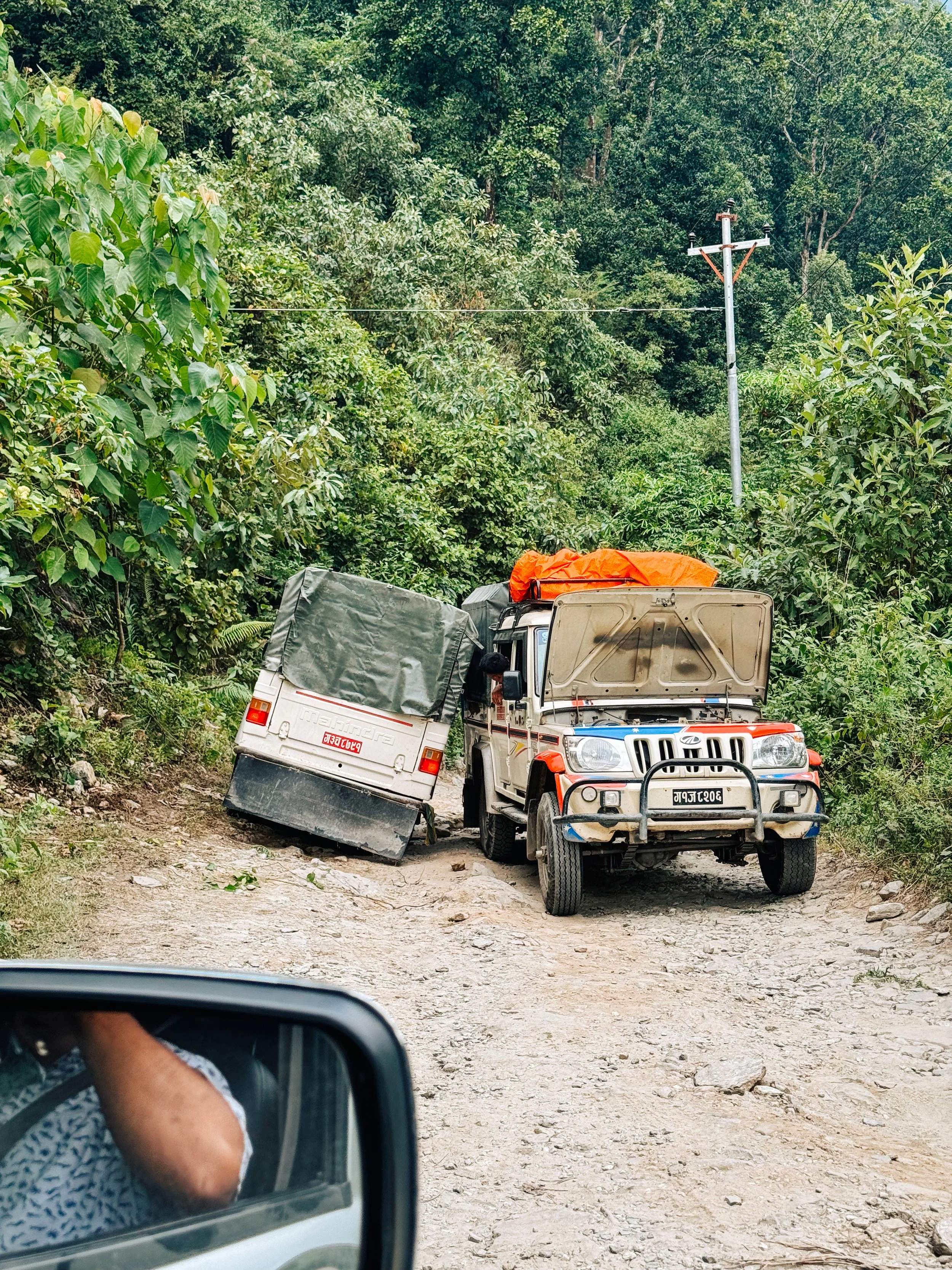
The trek starts with a jeep drive from Kathmandu to Macha Khola, the trailhead for the Manaslu Circuit. The first stretch out of the city is paved, but that changes once the road climbs into the hills. The last few hours run over gravel and dirt track, with drop-offs on one side and no guardrails. The jeep bounced hard enough that I braced myself against the seat in front of me for most of the ride. What's normally listed as a 7 to 8 hour drive took us longer, partly because of a landslide that had closed part of the road the week before.
Getting there
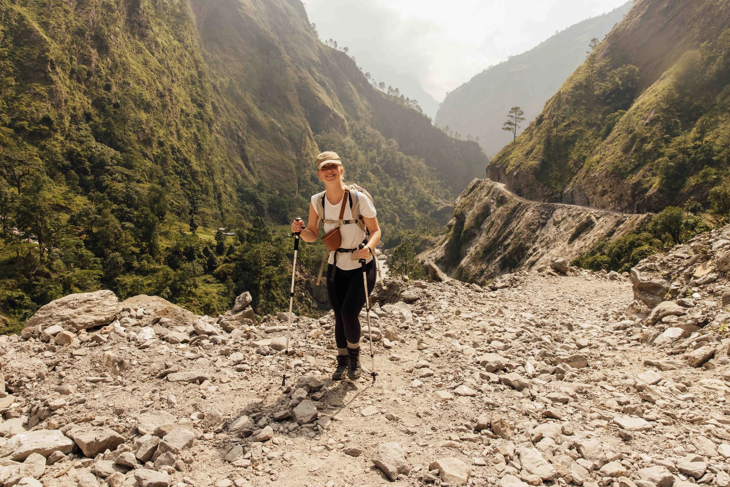
My legs were tired every single day, but that’s not what I remember most. I remember the showers that never got past ice cold, the altitude sickness, food poisoning at exactly the wrong moment, and mornings so cold I had to talk myself into getting out of my sleeping bag.
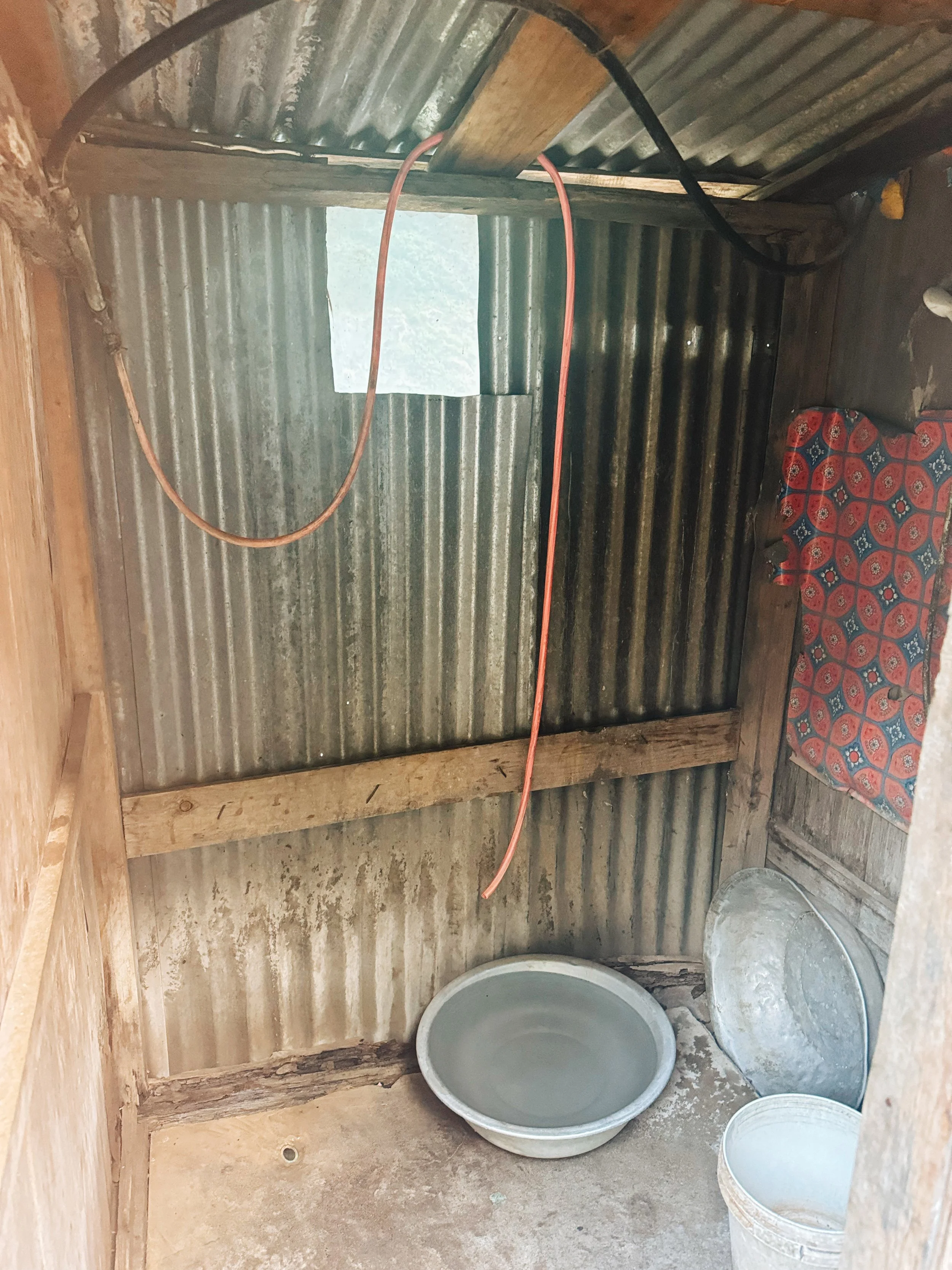
I remember arriving in Bihi Phedi after a particularly long day. We spotted a door with a ‘hot shower’ sign, so I went straight in, only to find out that the boiler had been broken for months. Instead, there was a bucket and a garden hose, both offering nothing but ice-cold water. Luckily, a plate of local dal bhat that evening gave us just enough energy to forget about it.
And somehow, all of that is still part of what made the trek so memorable. The people along the trail who welcomed us in without expecting anything in return, the tea houses that felt like home after a long day, and the views of the Himalayas that no photo I took ever quite managed to capture.
What the Trail Took
“Day 7 nearly ended it all. At nearly 4.000m, in the village of Samagaon, I was hit by food poisoning for the second time. Completely drained, feeling sick and facing nothing but hours of trekking ahead made it seem as though a helicopter evacuation was the only option. But with extra rest, plenty of medicine, and determination, we pushed through and made it.”
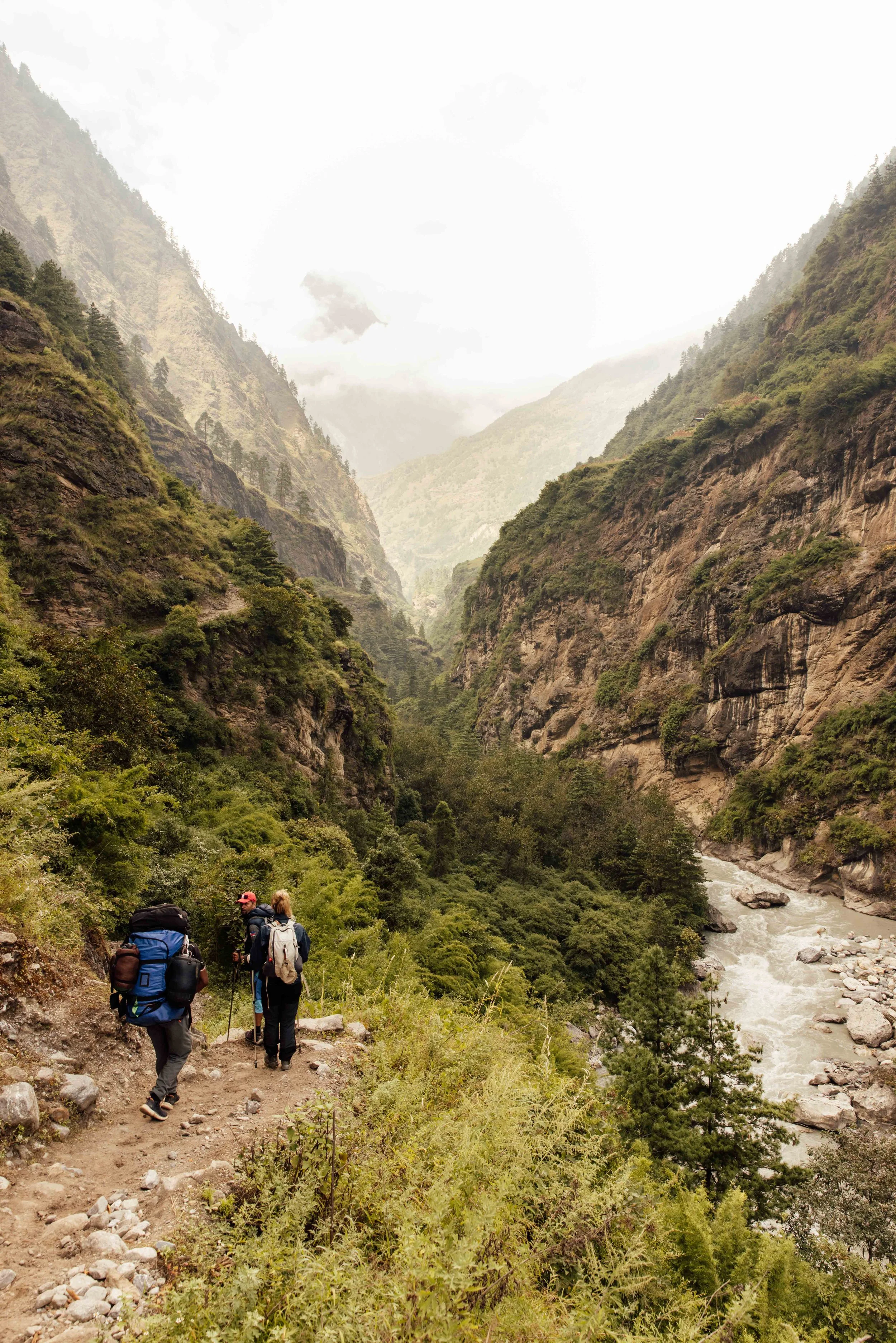
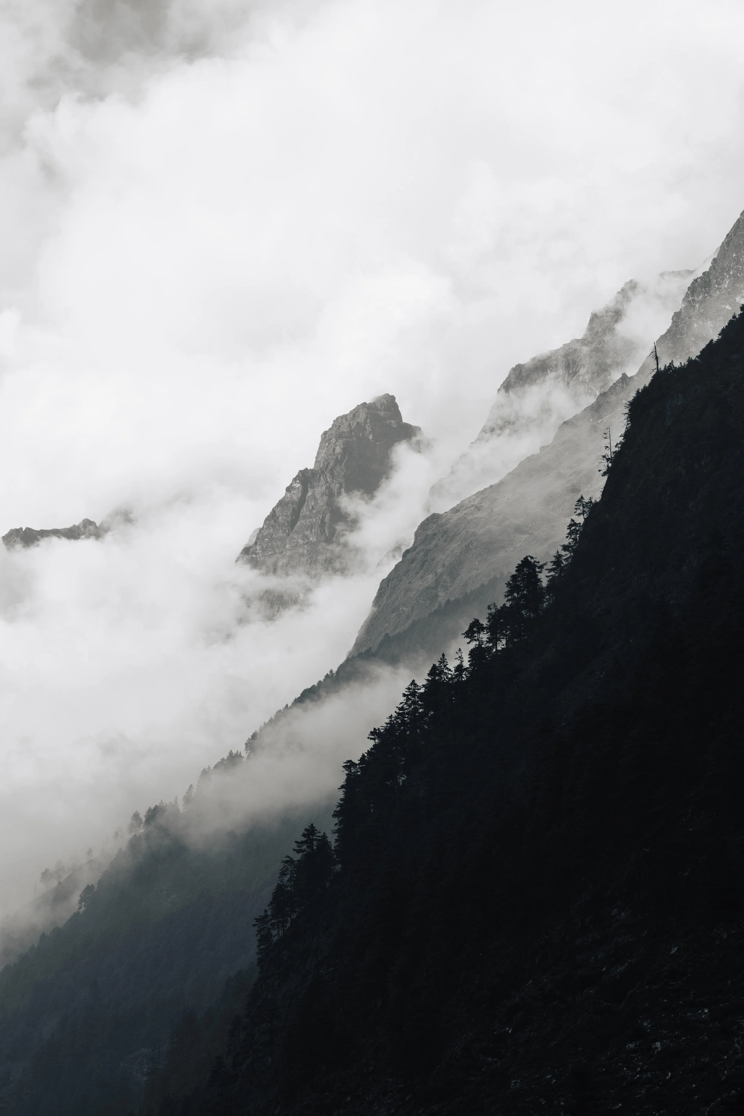
The trek splits into three completely different worlds, and part of the pleasure is watching one dissolve into the next.
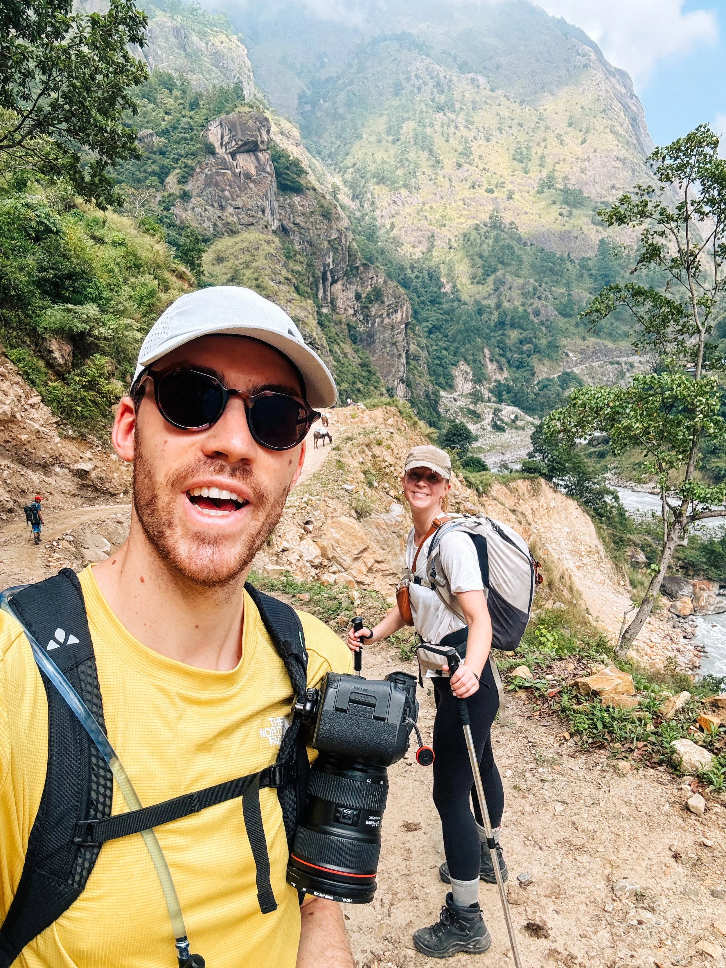
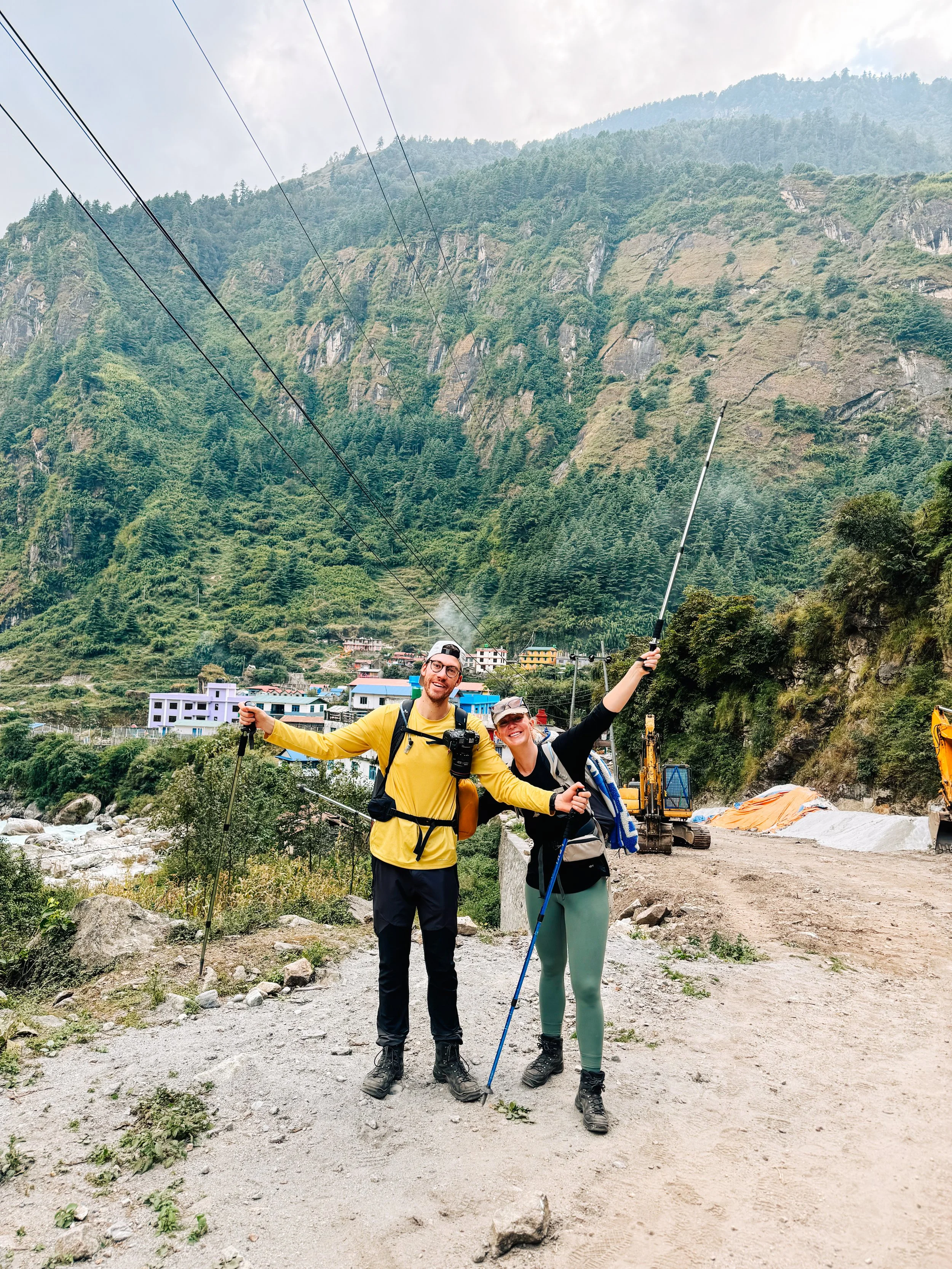
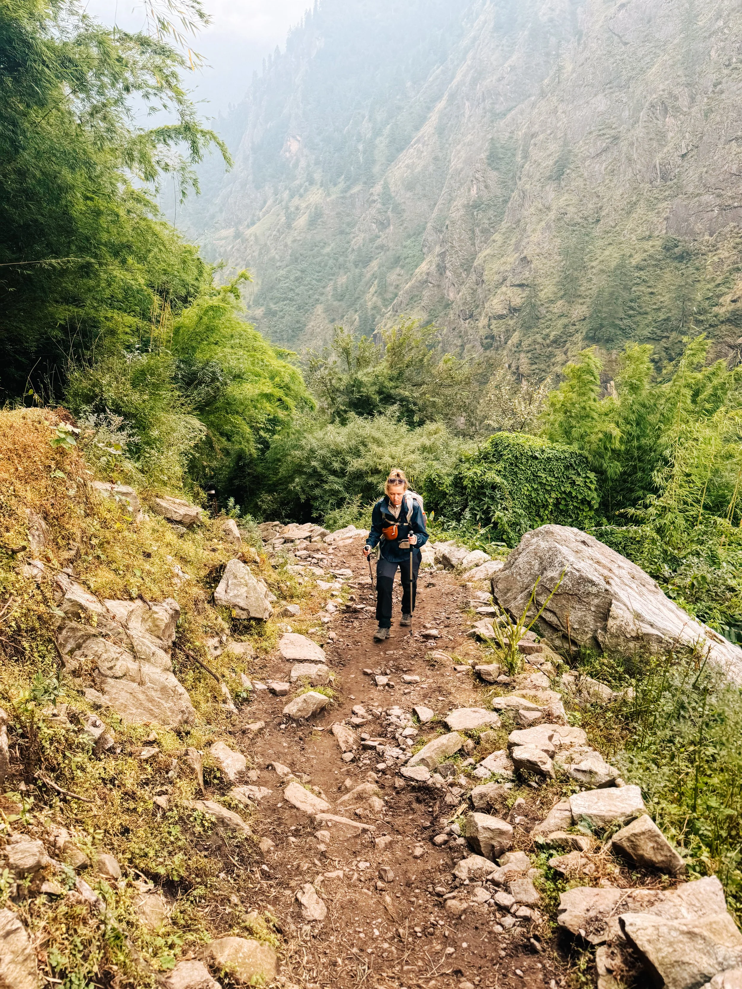
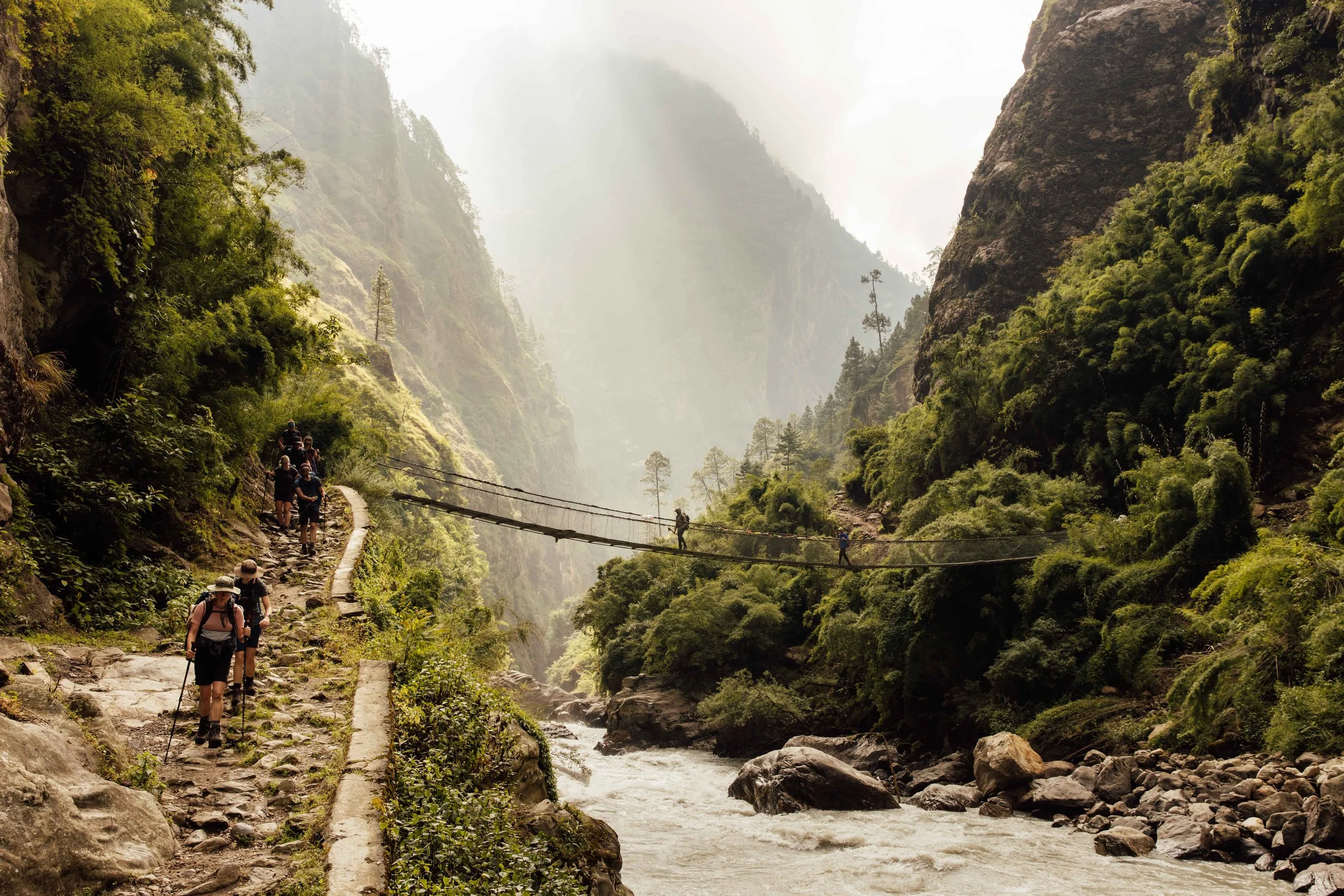
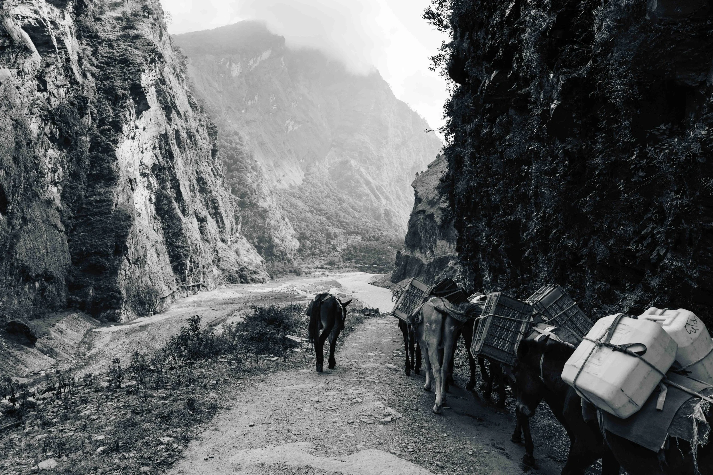
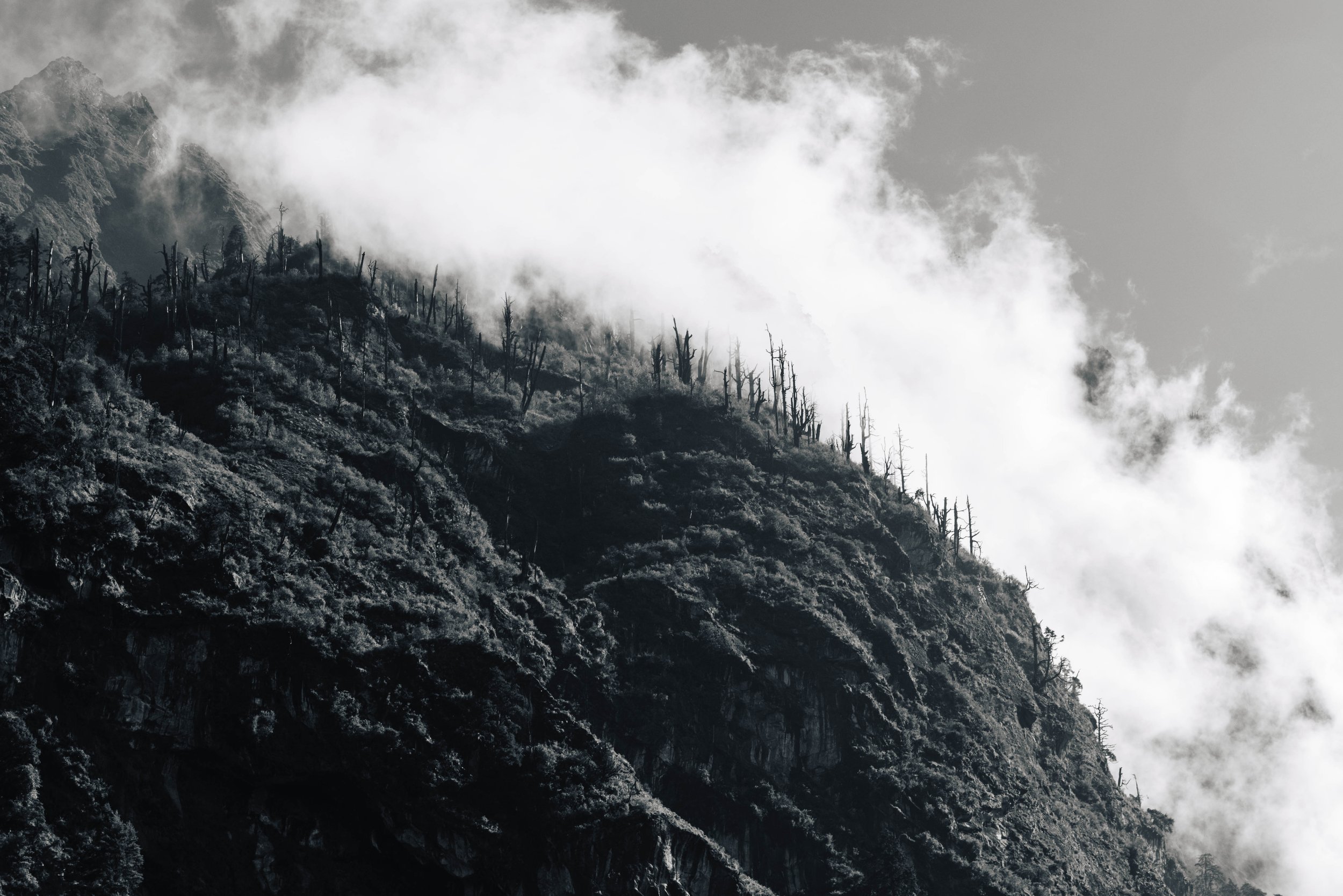
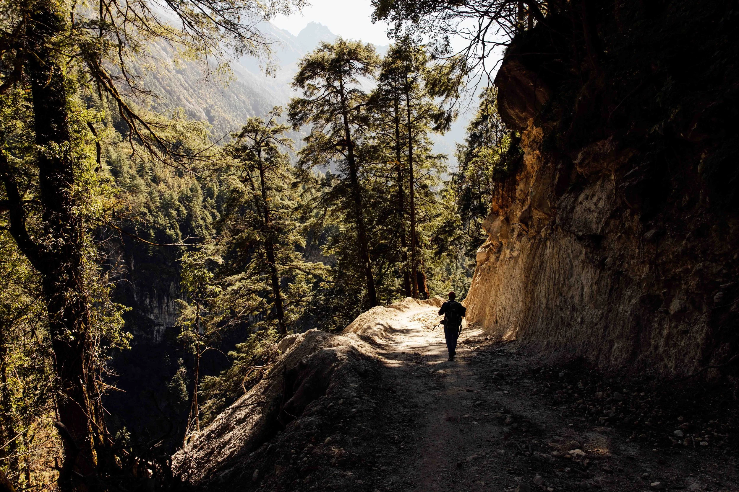
You start low, around 700 to 900 metres, in humid subtropical country. Rice terraces, banana palms, waterfalls dropping straight onto the trail, suspension bridges strung high over the river. The Budhi Gandaki gorge is narrow and loud. Some sections are blasted into the cliff face, with the water roaring twenty metres below. It is hot, sweaty walking and you will meet mule trains coming the other way. If there is one thing I learnt during those first few days, it is to stand on the mountain side of the path. Always.
Days 1 to 4: the gorge
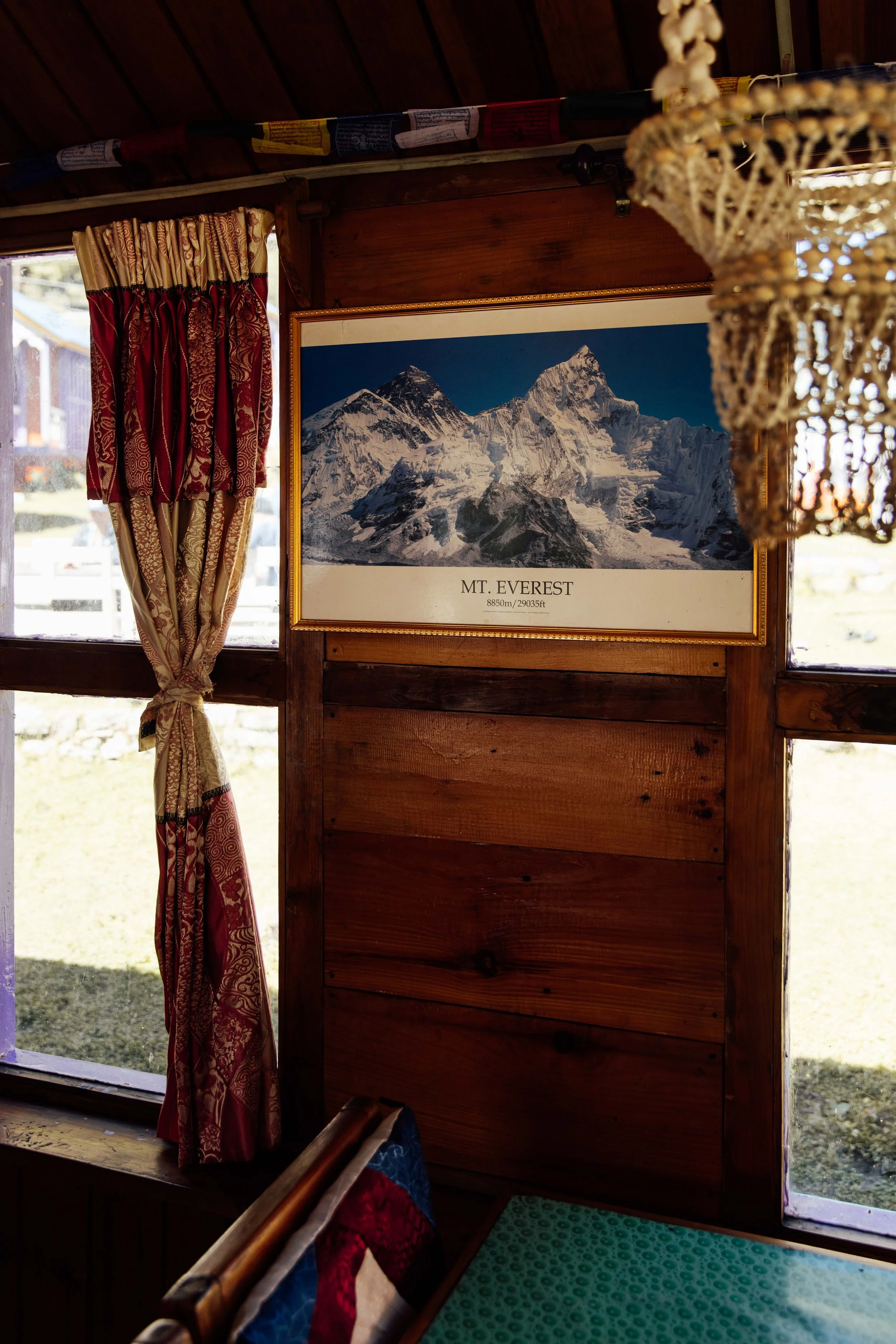
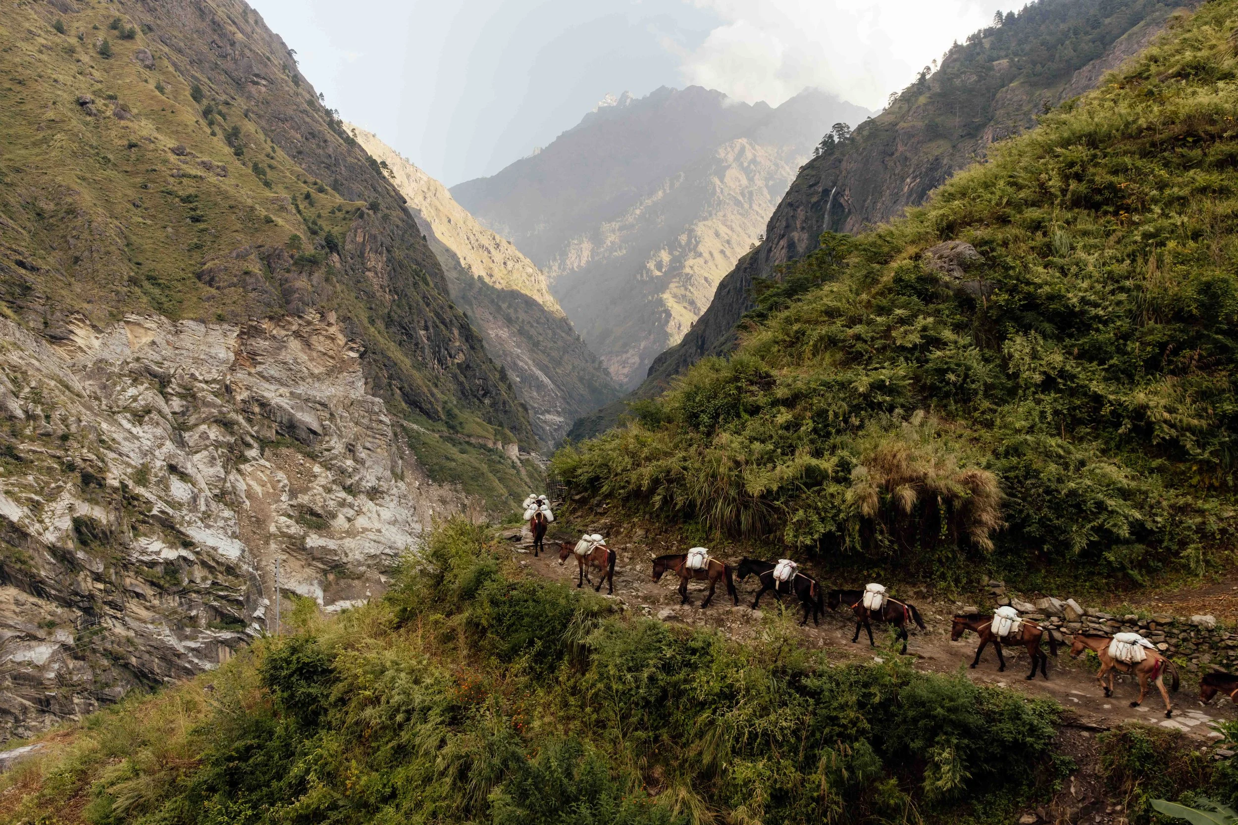
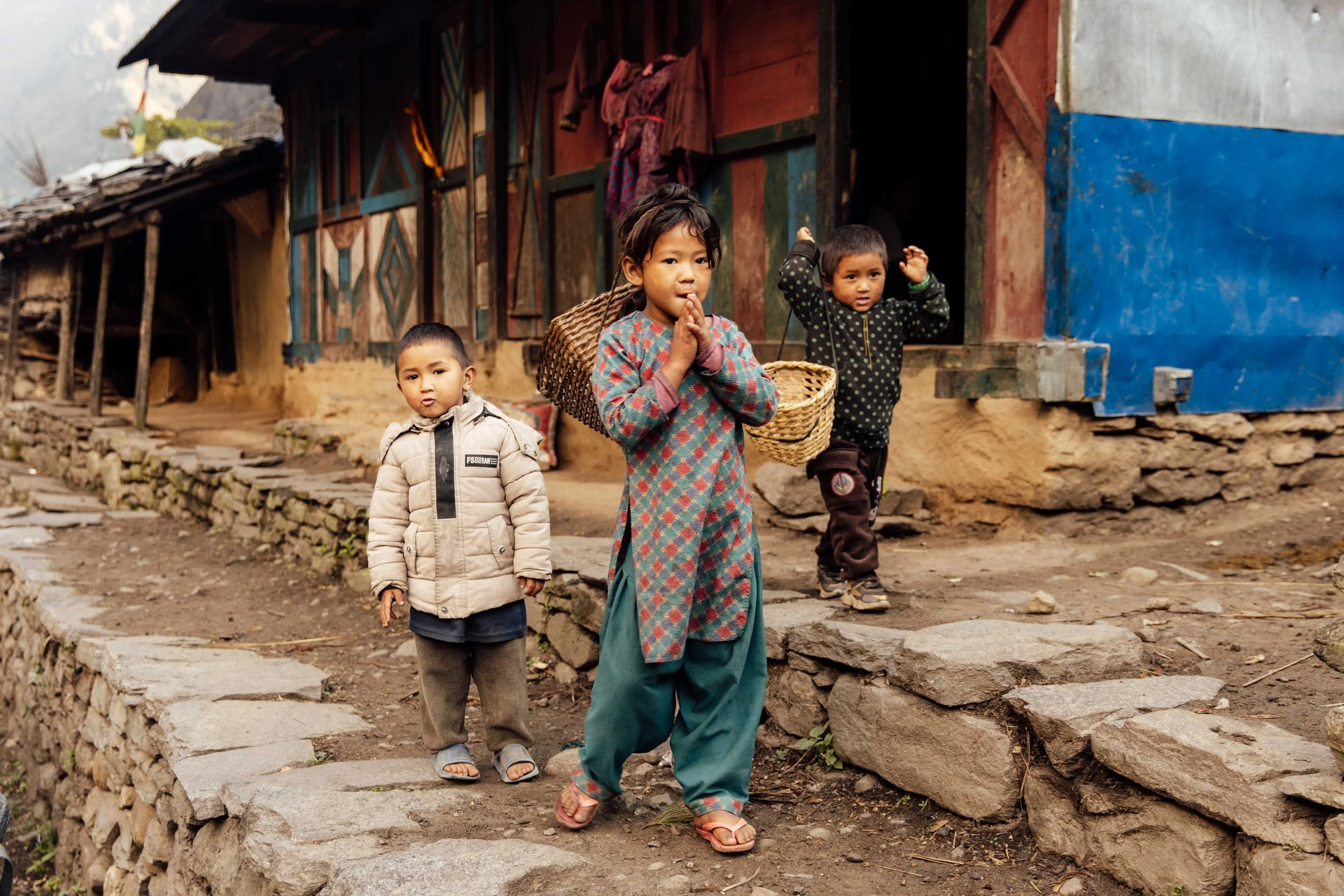
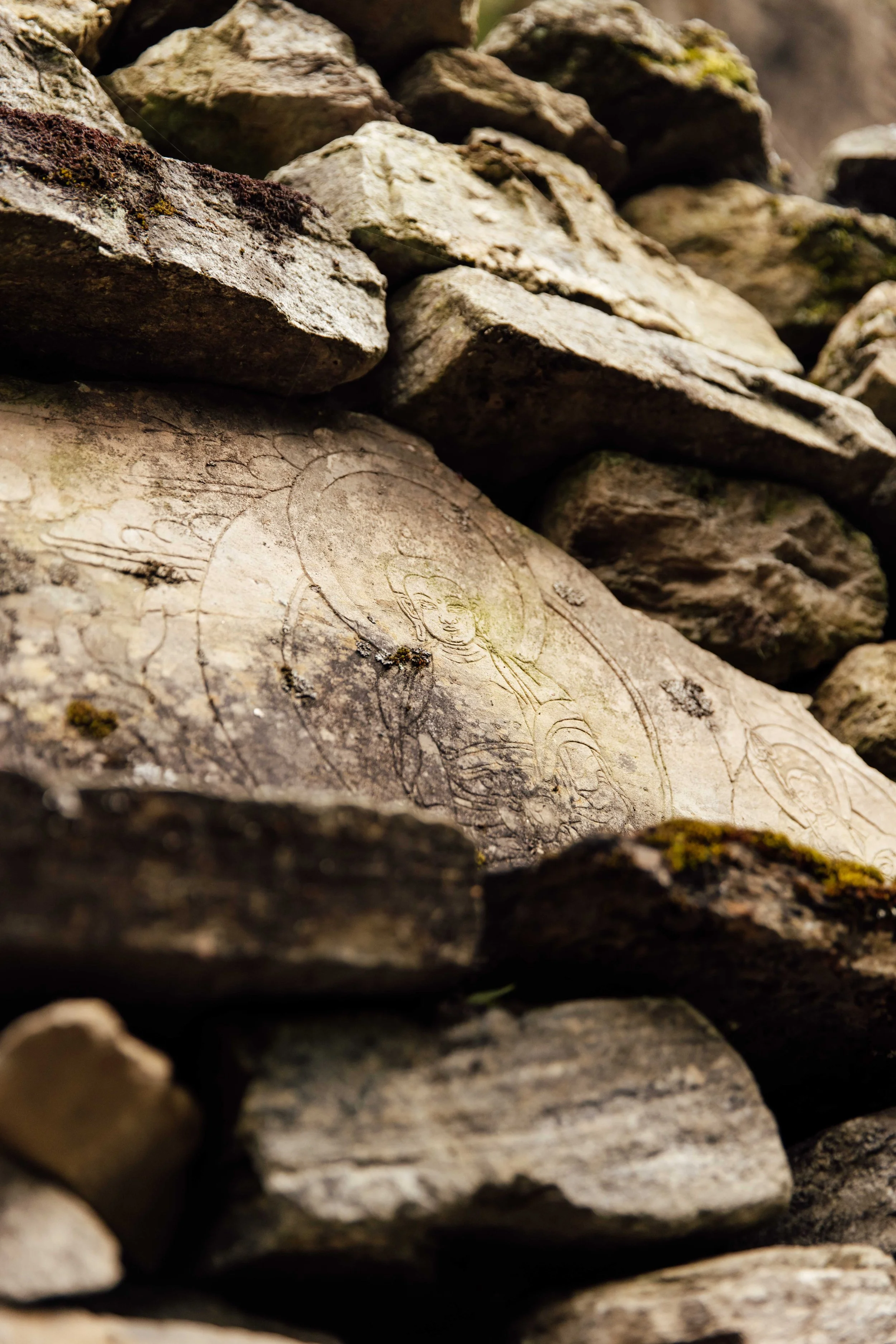
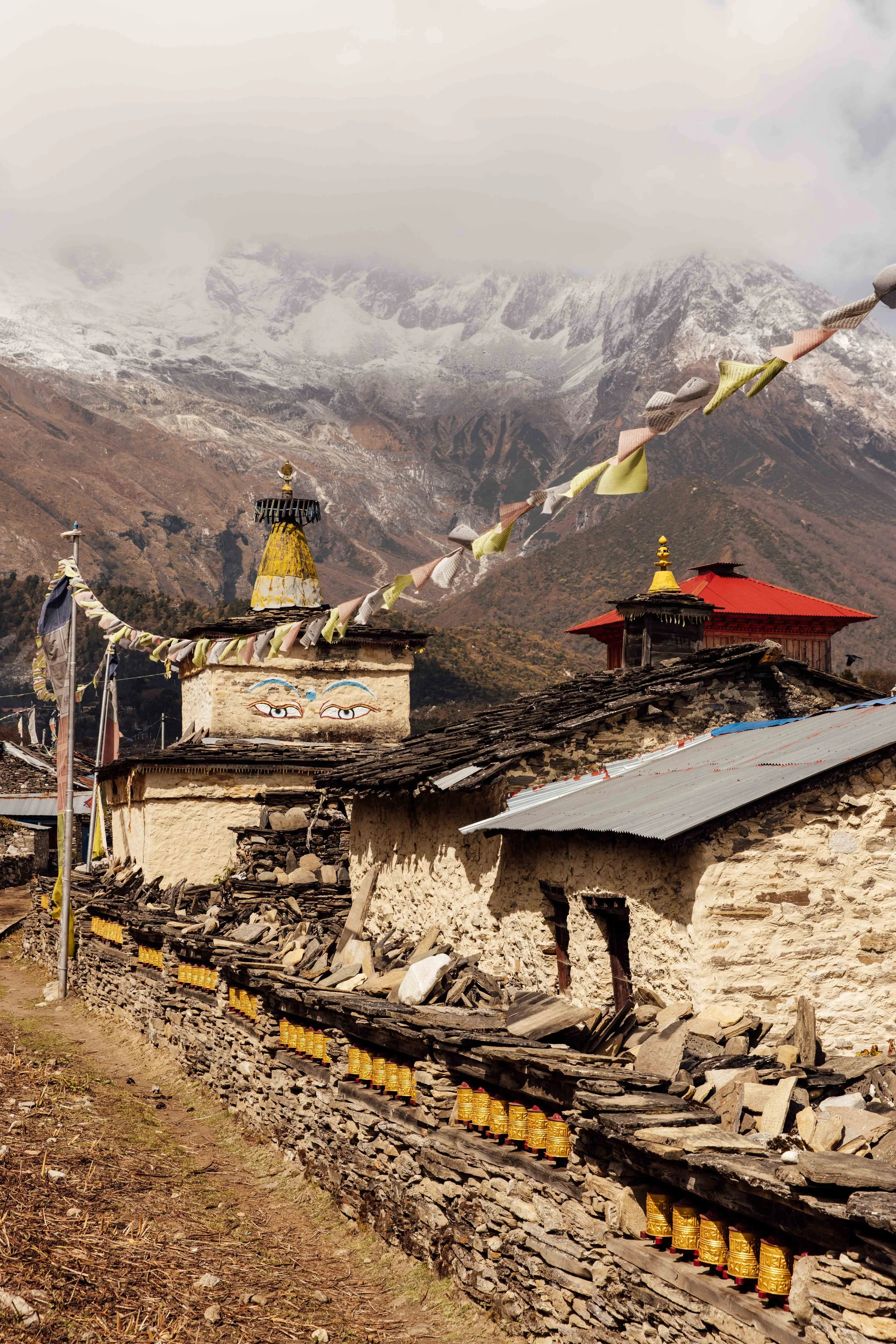
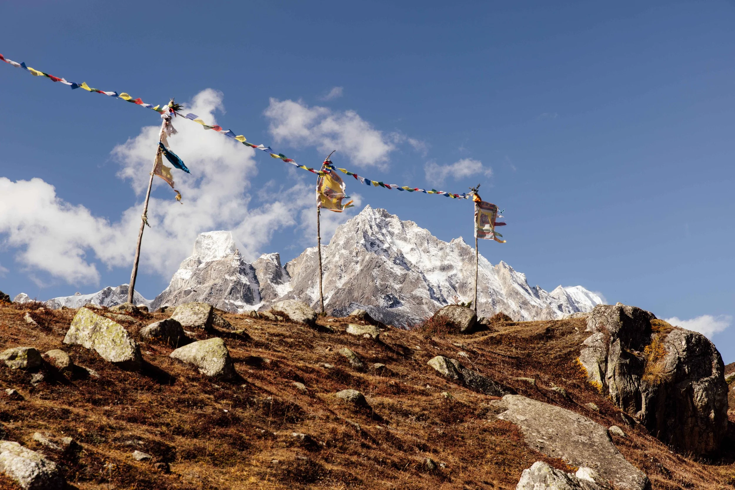
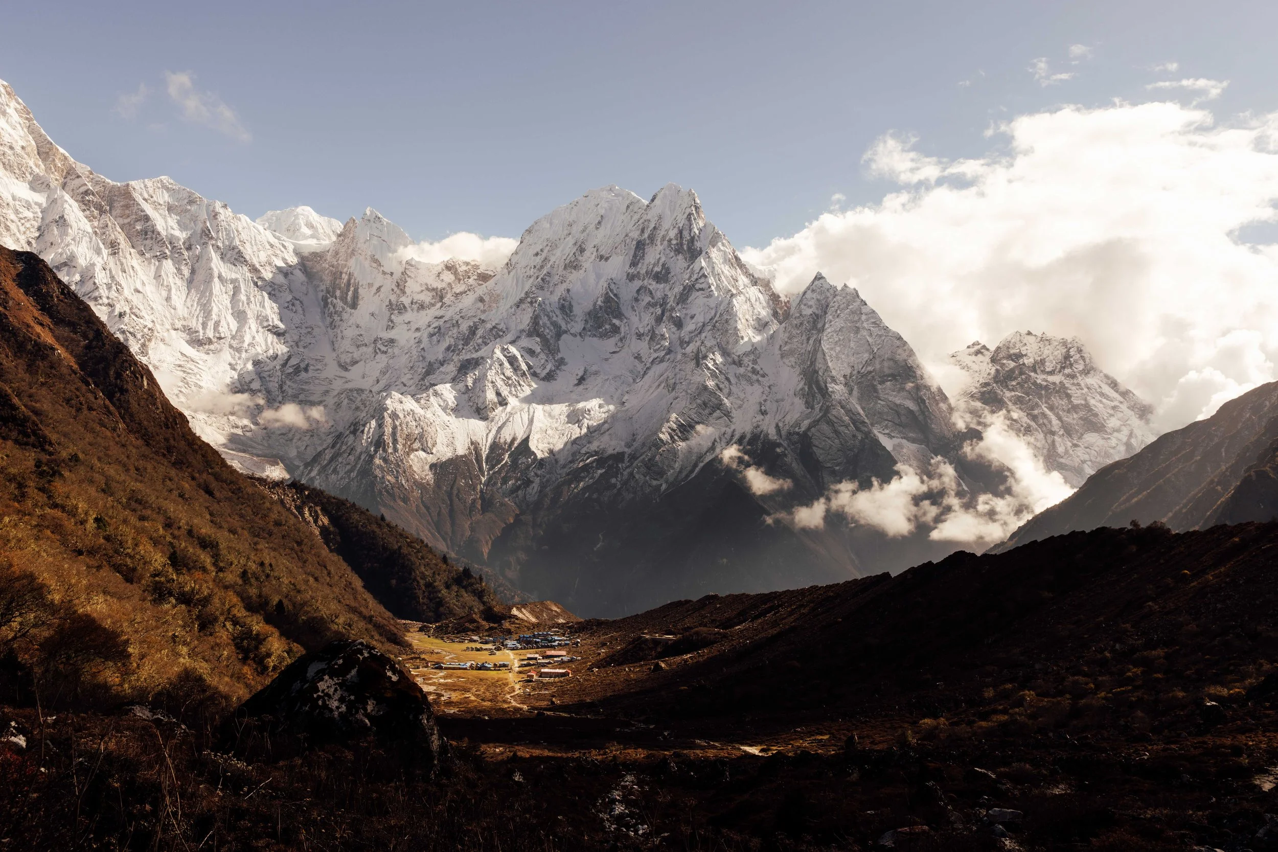
Somewhere past Dengh the air changes. Pine and rhododendron replace the banana palms, the gorge opens out, and the architecture shifts from Hindu hill village to Tibetan stone and timber. You start passing mani walls, long low walls of stones carved with mantras, which you keep to your left as you walk. Prayer flags appear on every ridge. At Namrung you cross into the Nubri valley proper and the peaks start showing themselves: Shringi Himal, Ganesh Himal, Himalchuli, then Manaslu itself.
Days 5 to 8: the transition
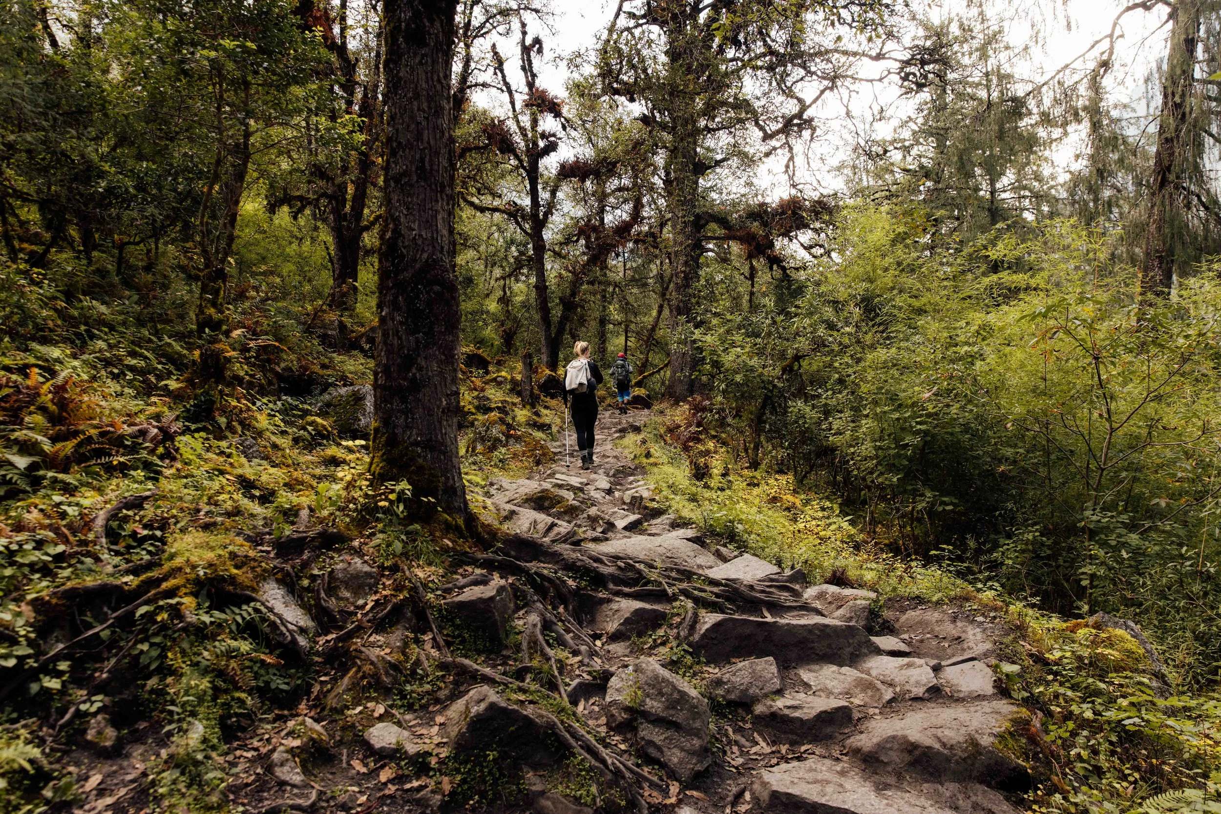
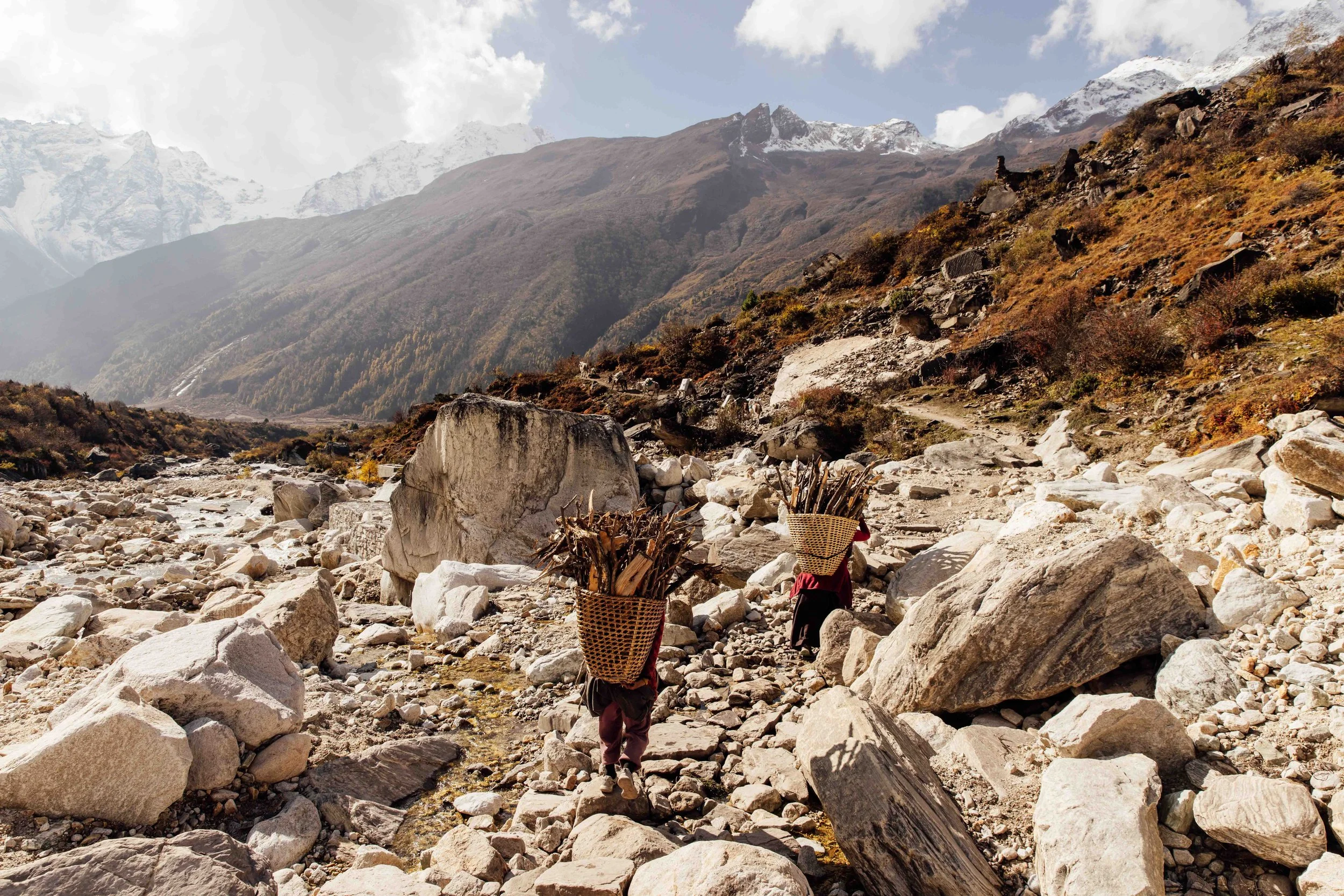
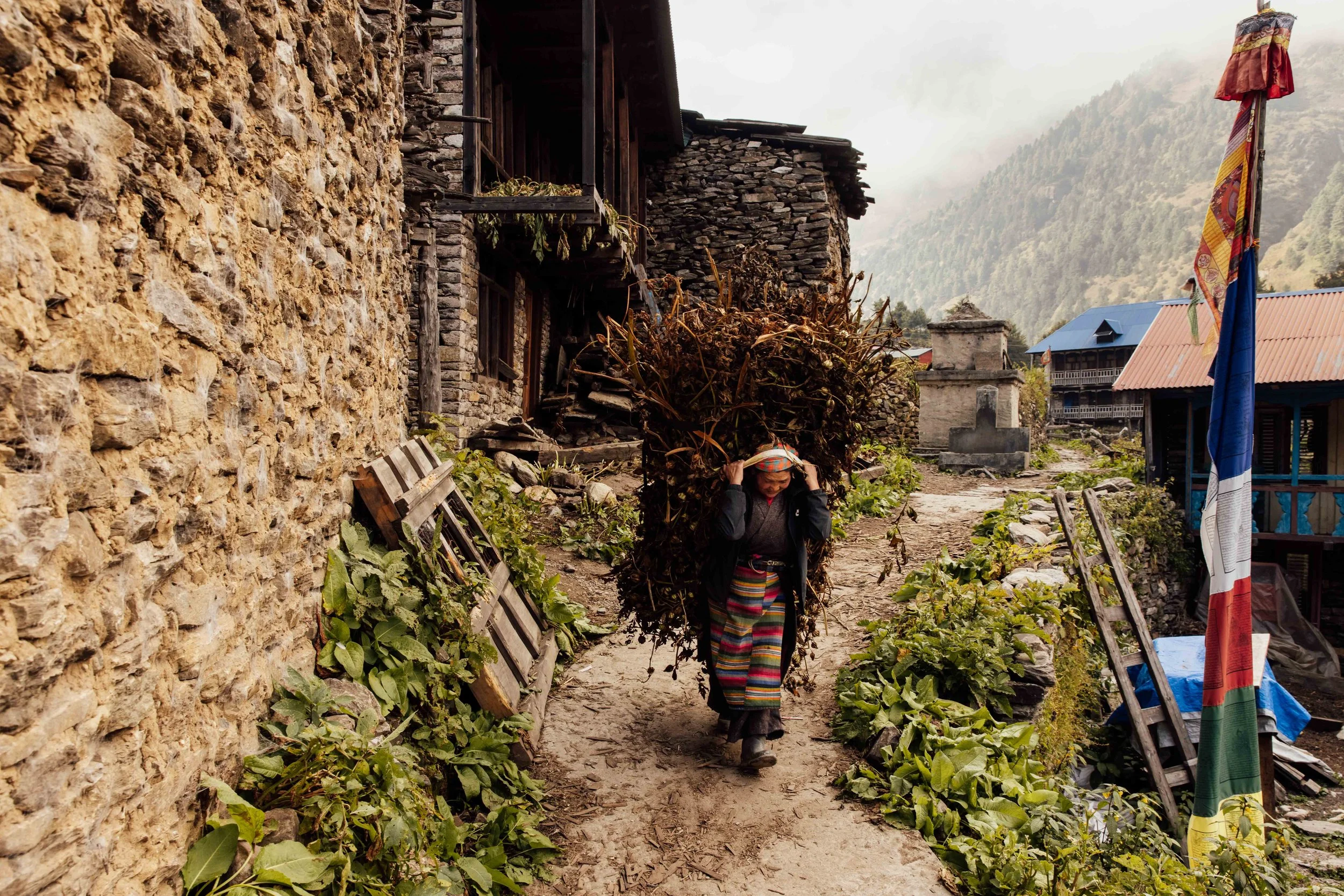
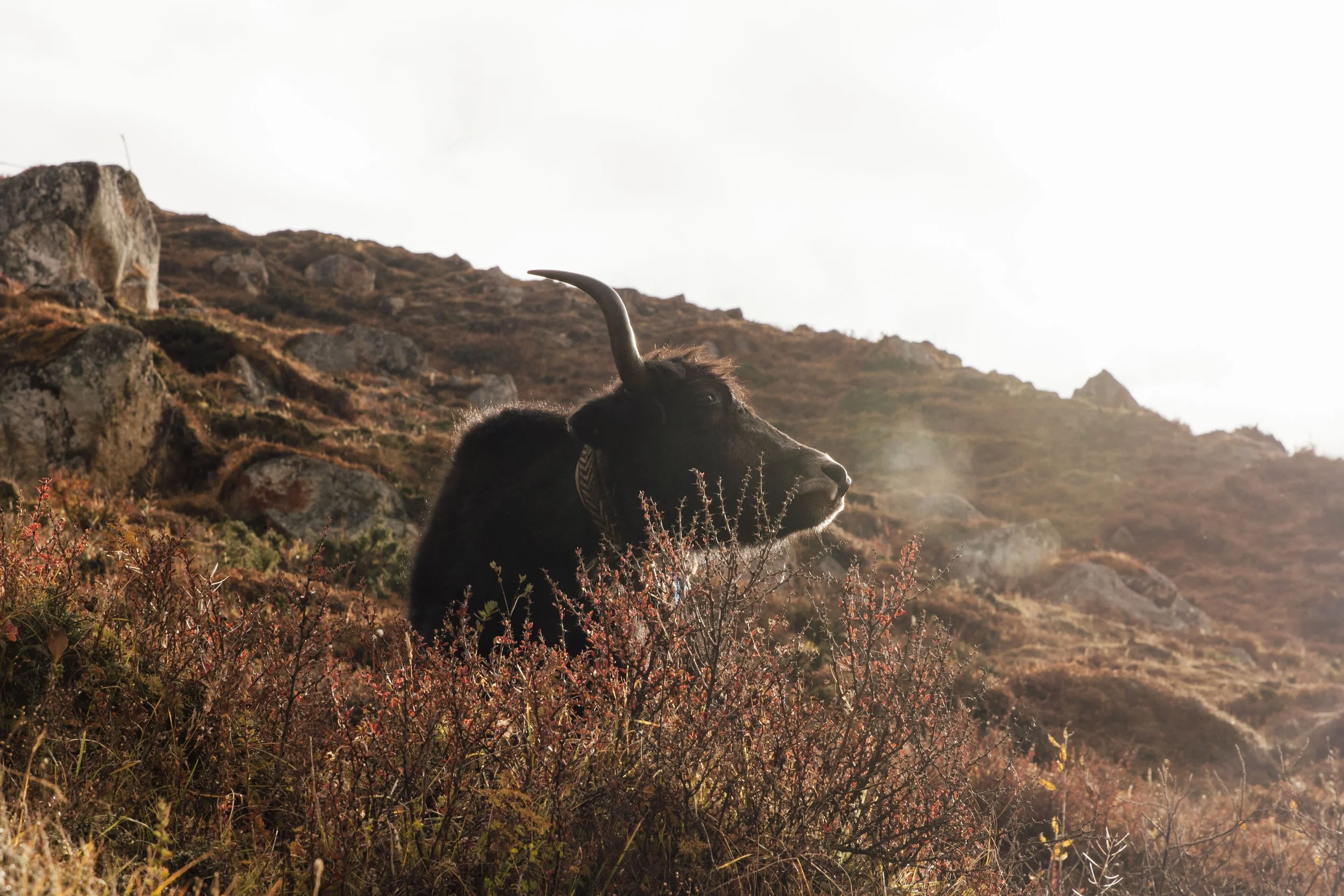
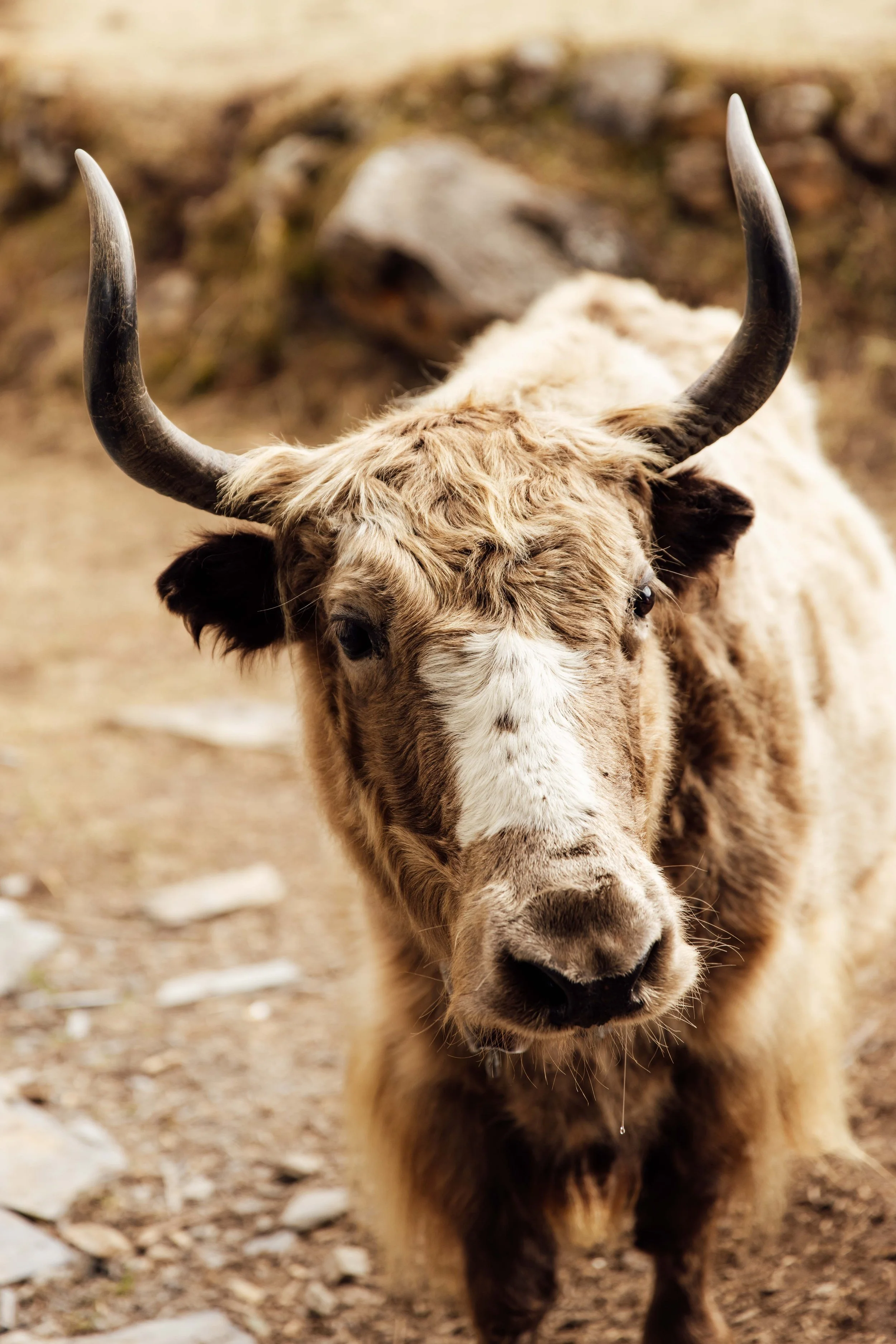
Above 3,500 metres the trees give out and the landscape goes wide and mineral. Samagaon and Samdo are working yak villages of flat-roofed stone houses stacked with firewood, sitting under glaciers. This is where you take your acclimatisation days, and they are the best days of the trek.
Days 9 to 12: the high country
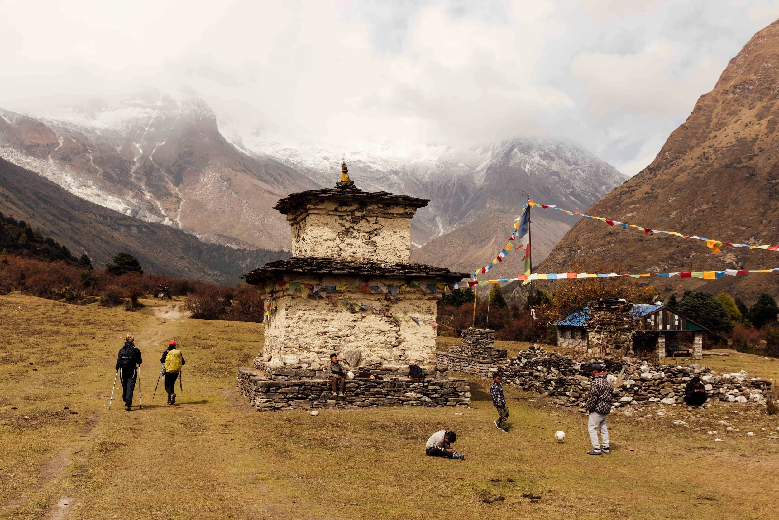
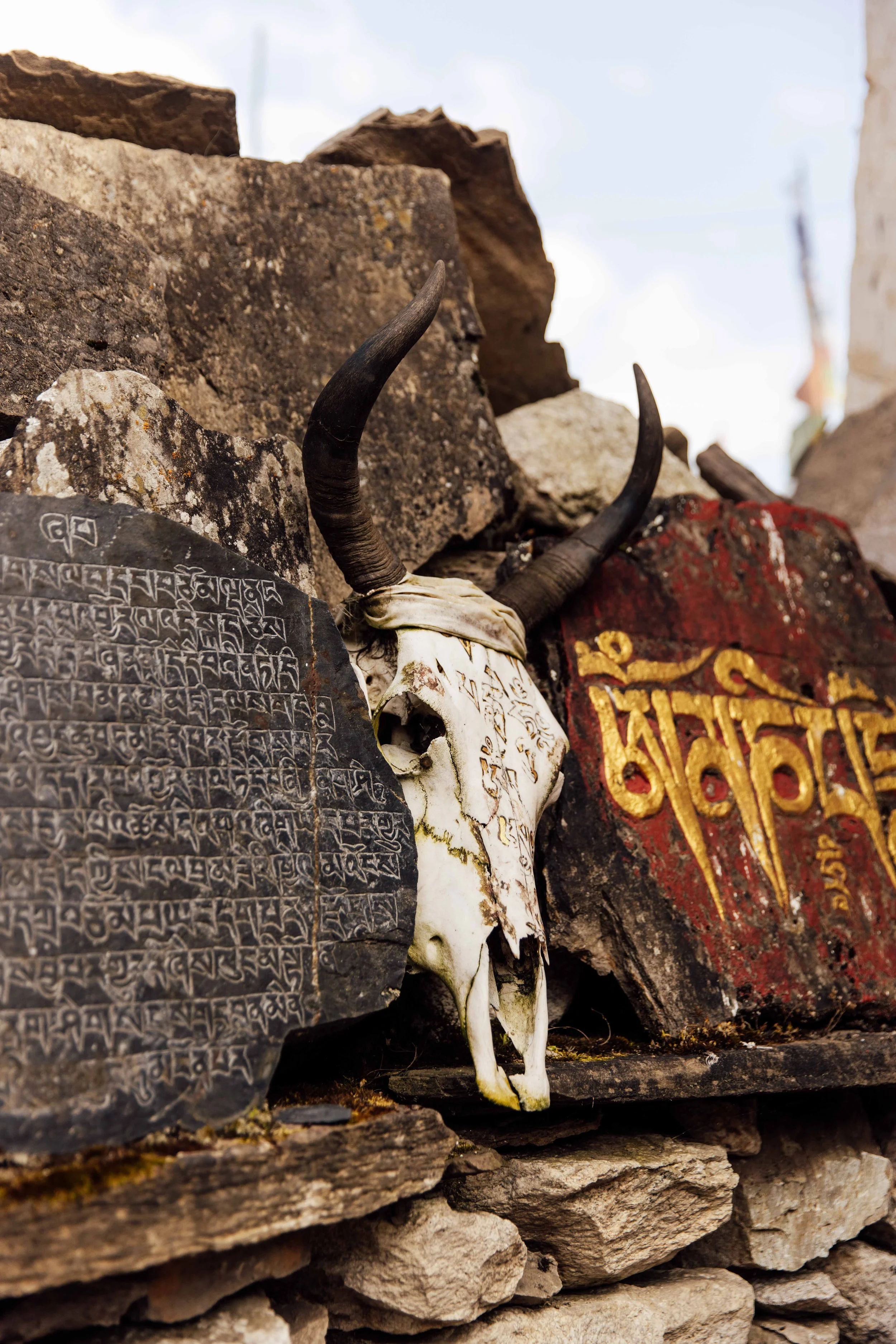
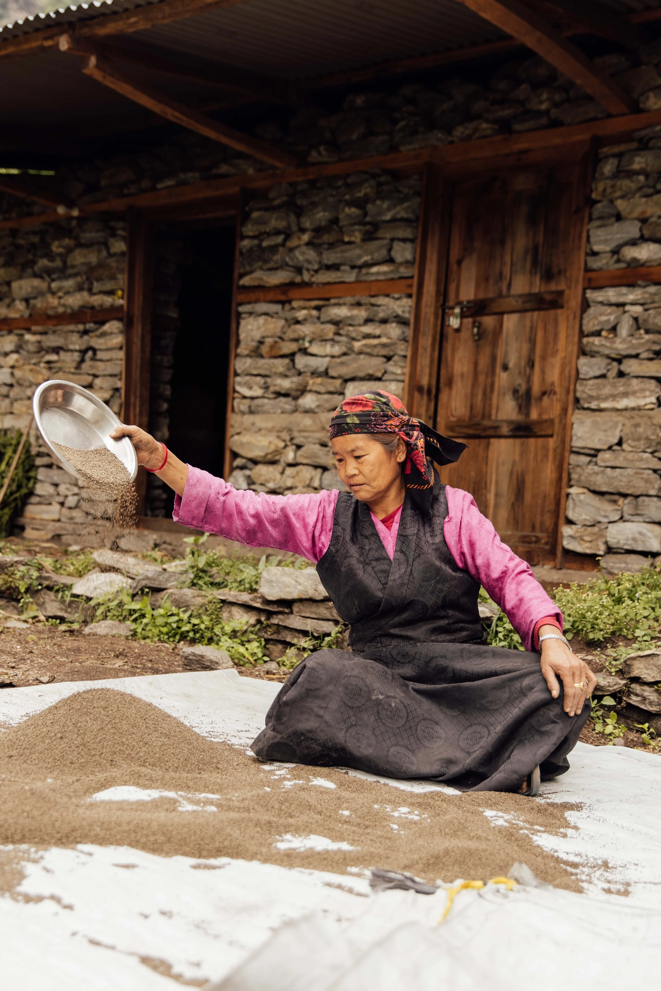
This is what elevates Manaslu above being merely a good walk.
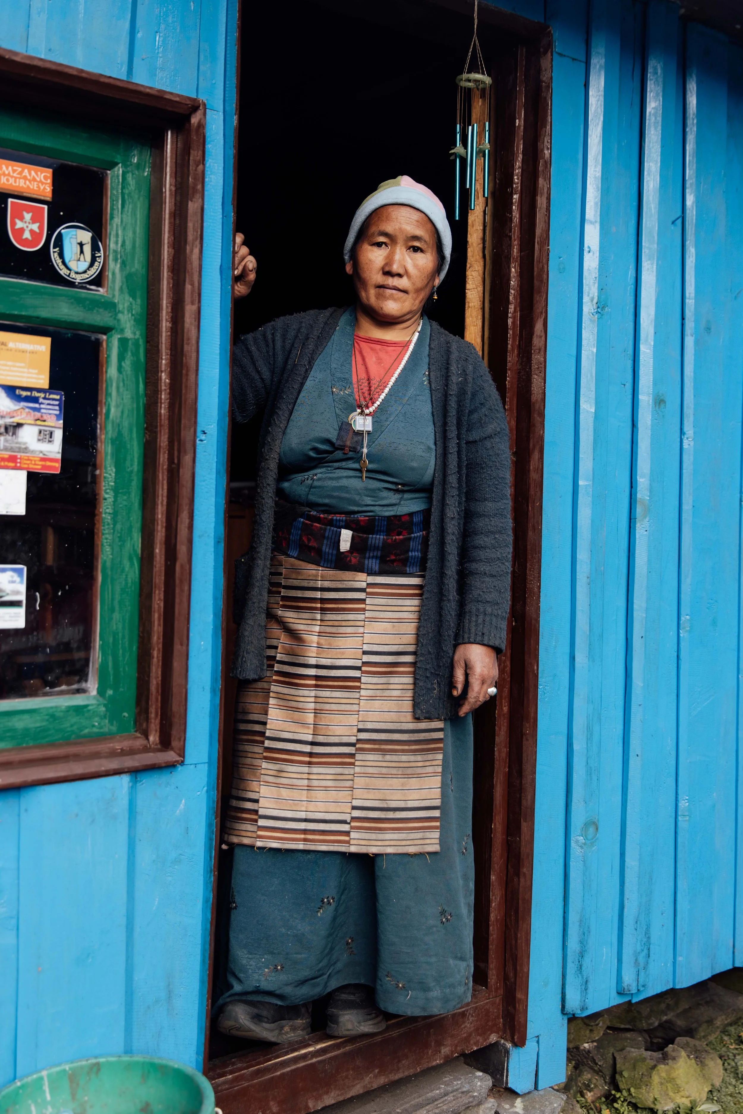
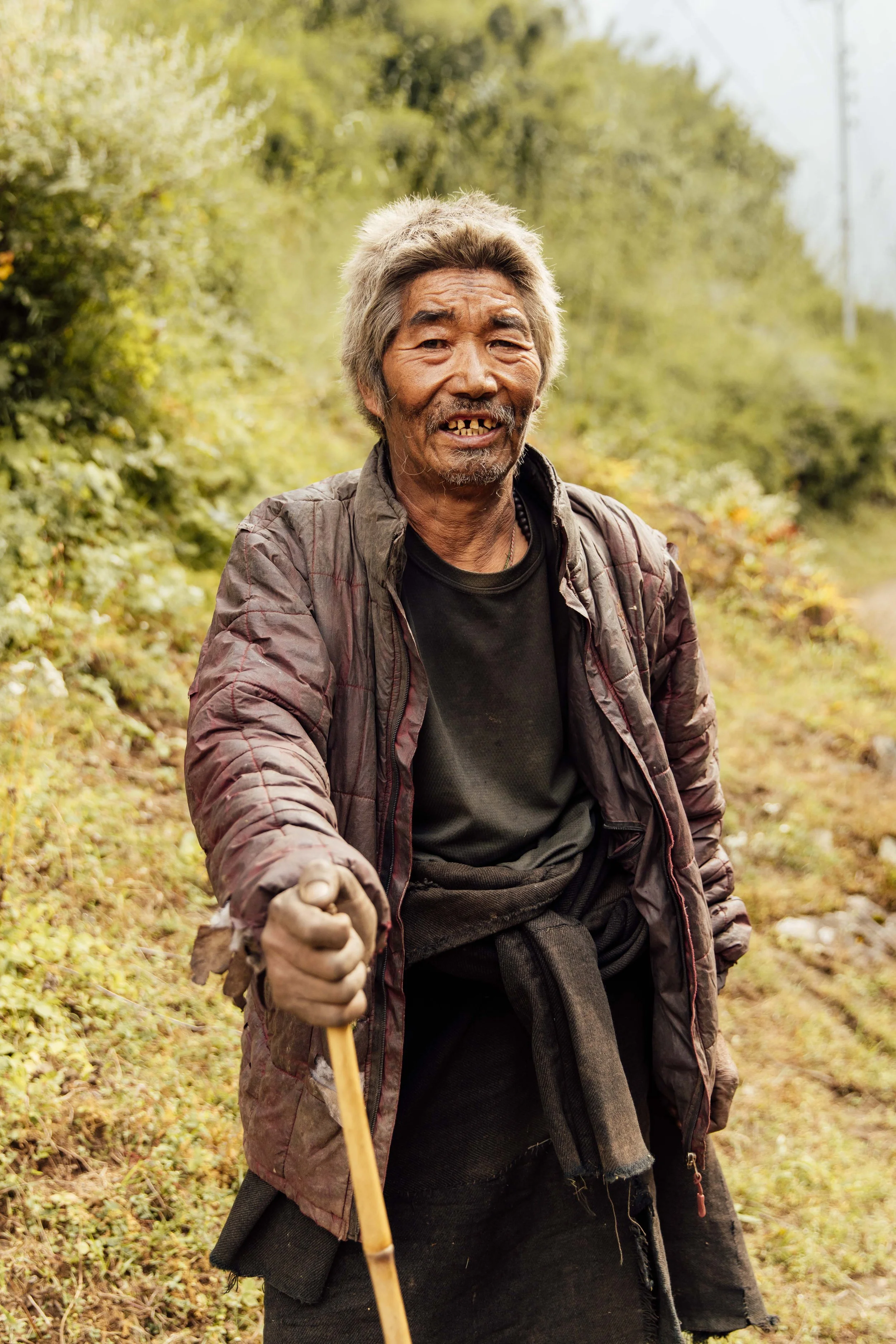
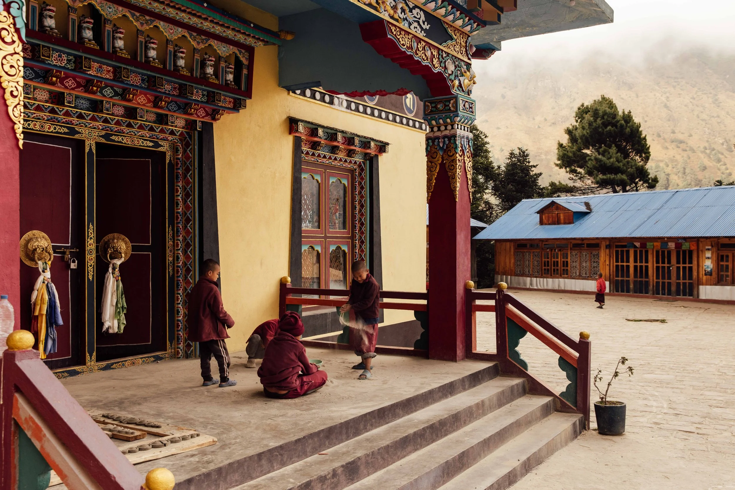
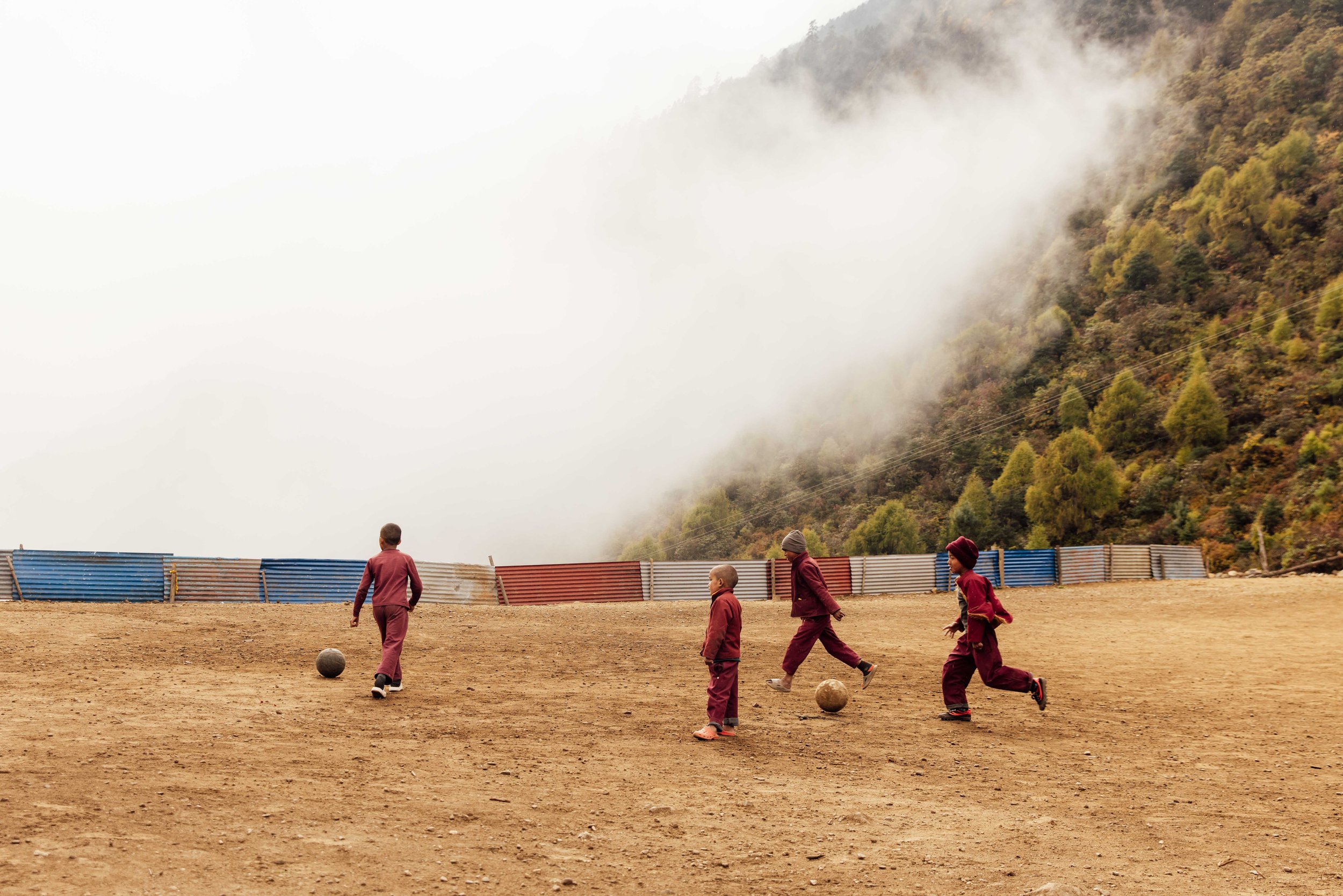
The upper valley is home to the Nubri people, of Tibetan descent, who have lived here for centuries as traders, herders and farmers. Until the border with Tibet effectively closed, the passes north of Samdo were busy trade routes. Salt came south, grain went north. Older people in Samdo can still tell you about those crossings. The culture is Tibetan Buddhist, the language closer to Tibetan than to Nepali, and the calendar still turns on monastery festivals rather than anything happening in Kathmandu.
You walk past chortens, spinning prayer wheels set into stone housings, and gompas that predate almost anything in Europe by function if not by fabric. Ribung Gompa above Lho is worth the twenty minute climb at dusk, when the monks are chanting and Manaslu goes pink behind it.
The people and the culture
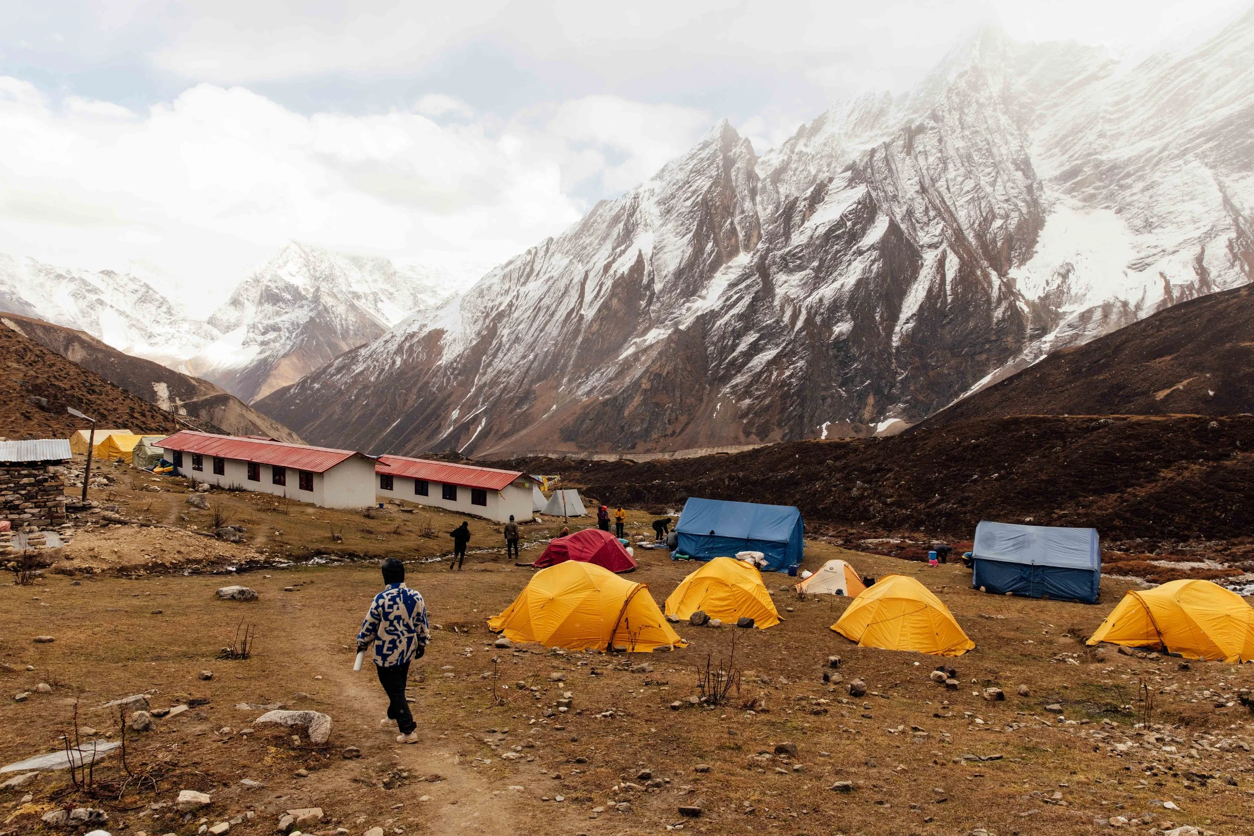
The Larkya La is a long day. You leave Dharamsala, a bleak cluster of huts at around 4,460 metres. Like many people, I slept badly this night, because sleep at 4,460 metres is thin and broken, and many people experience periodic breathing at night. It is unpleasant, it is normal, and it costs you rest.
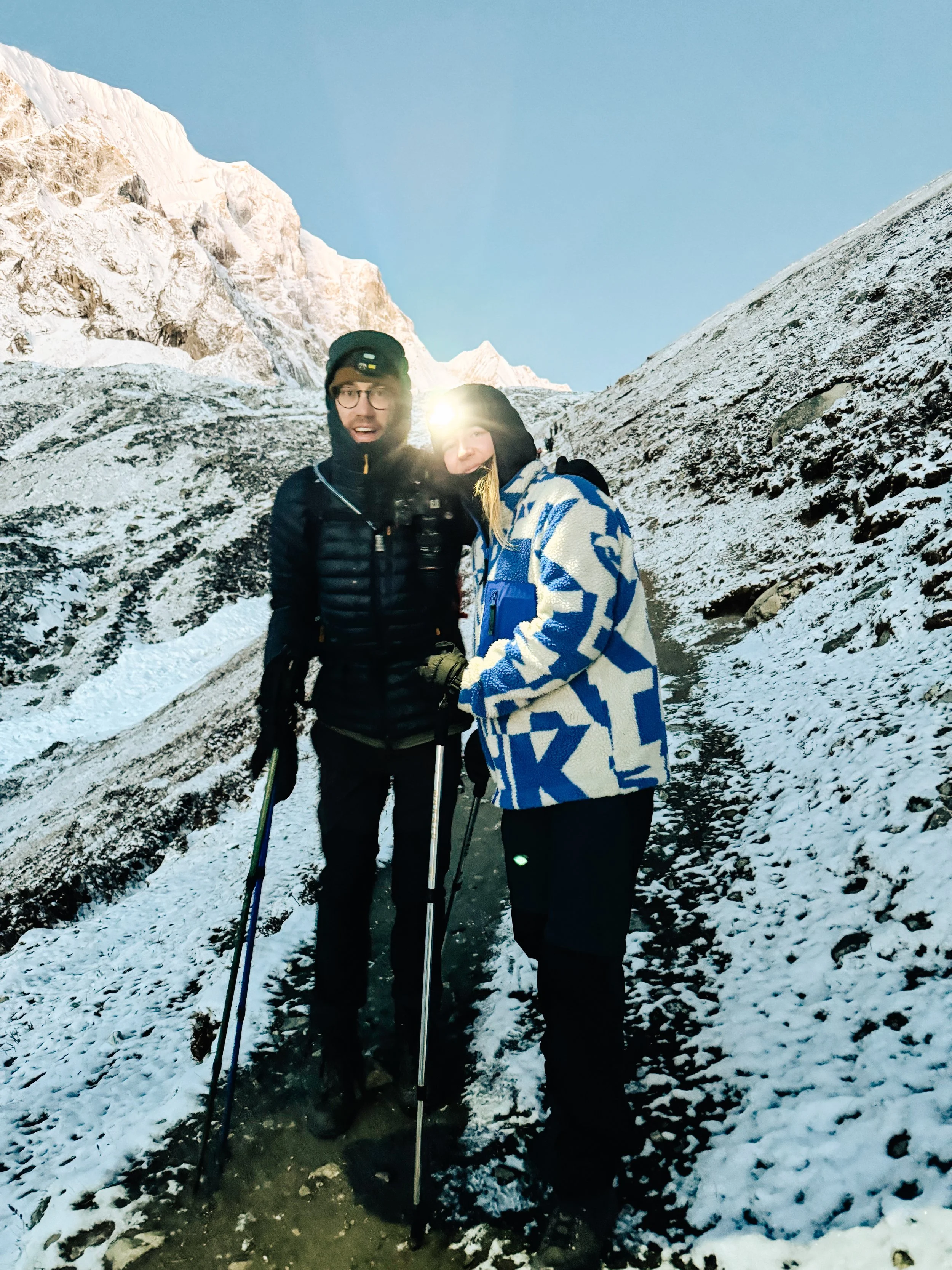
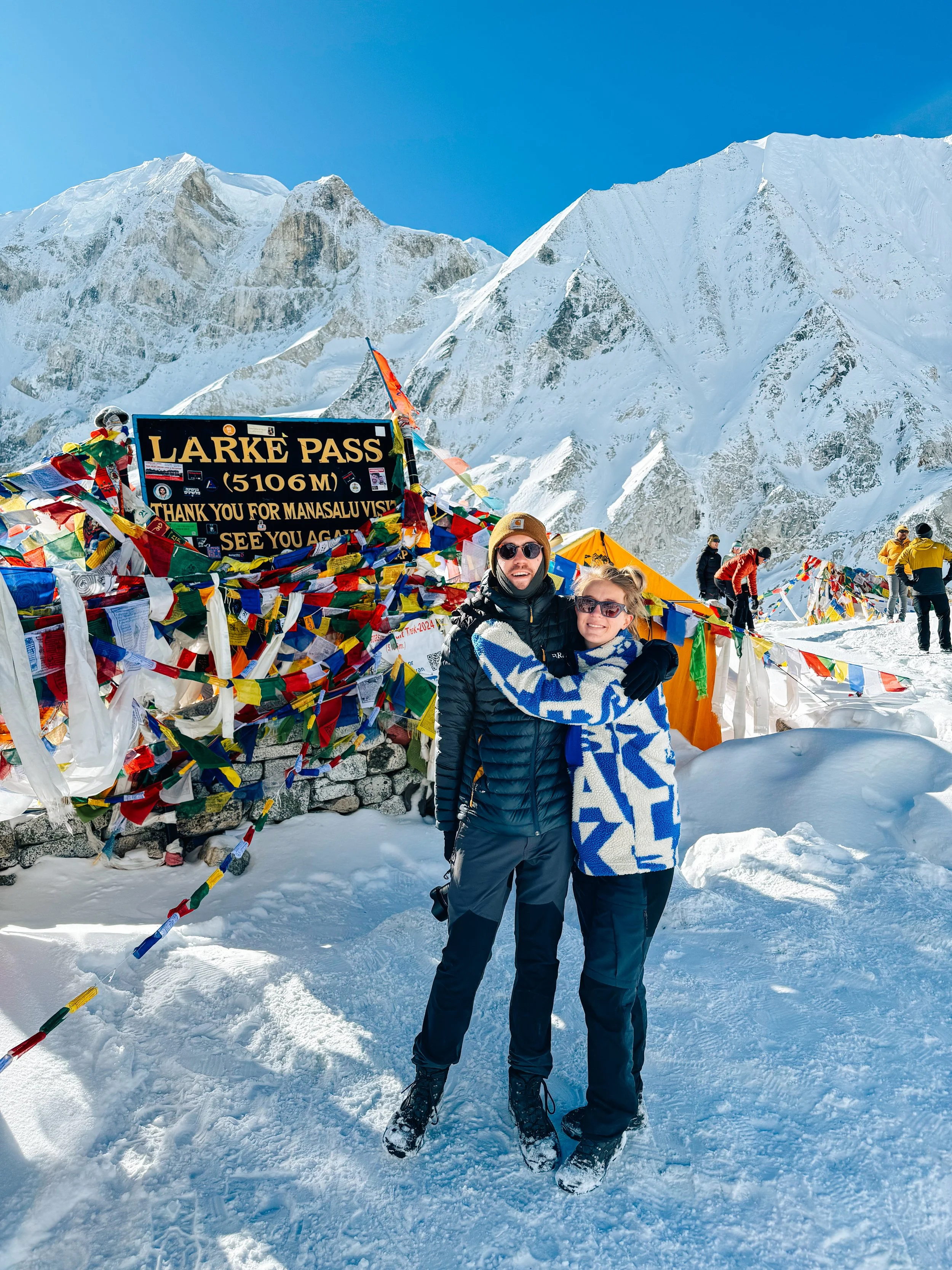
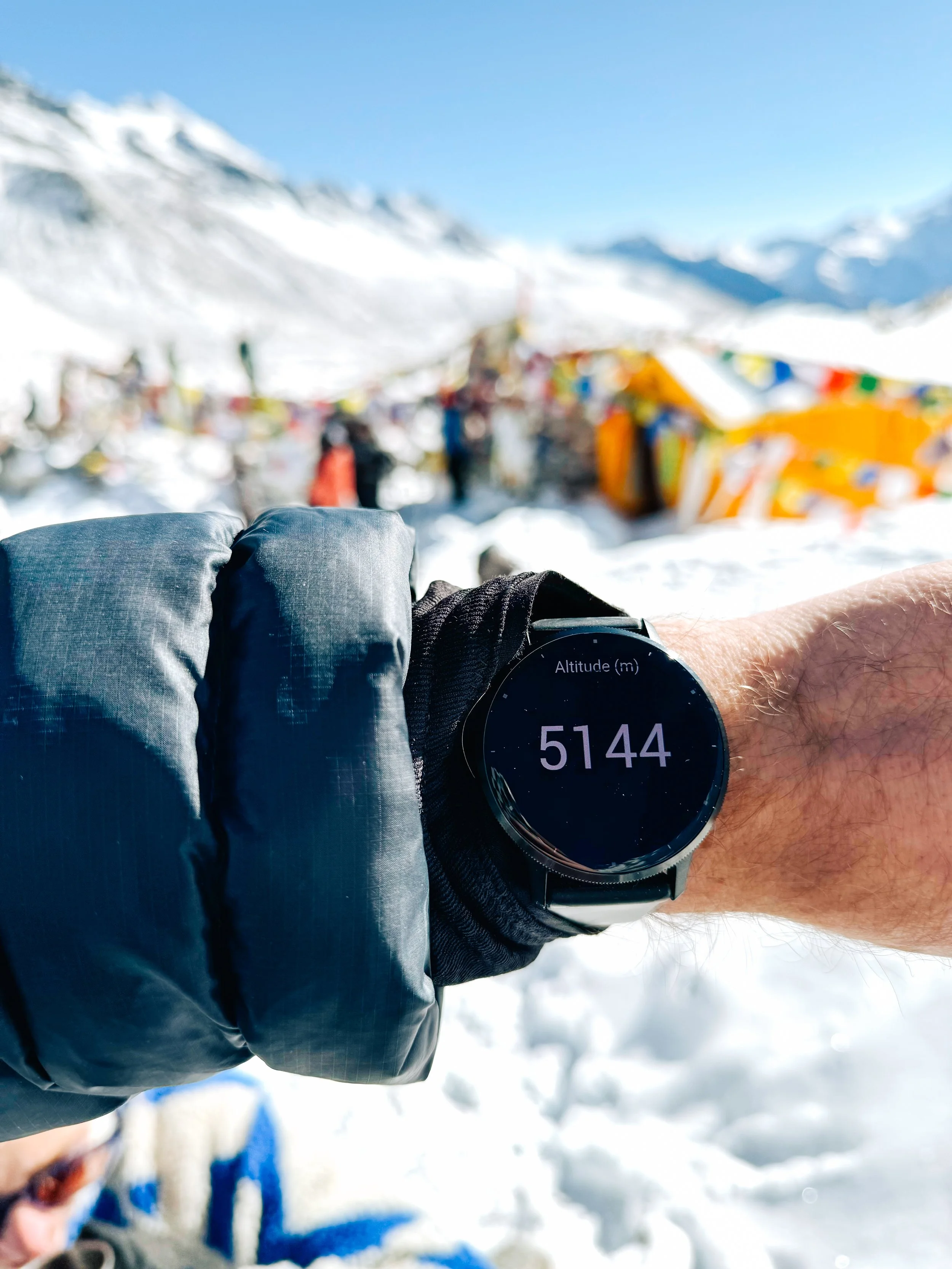
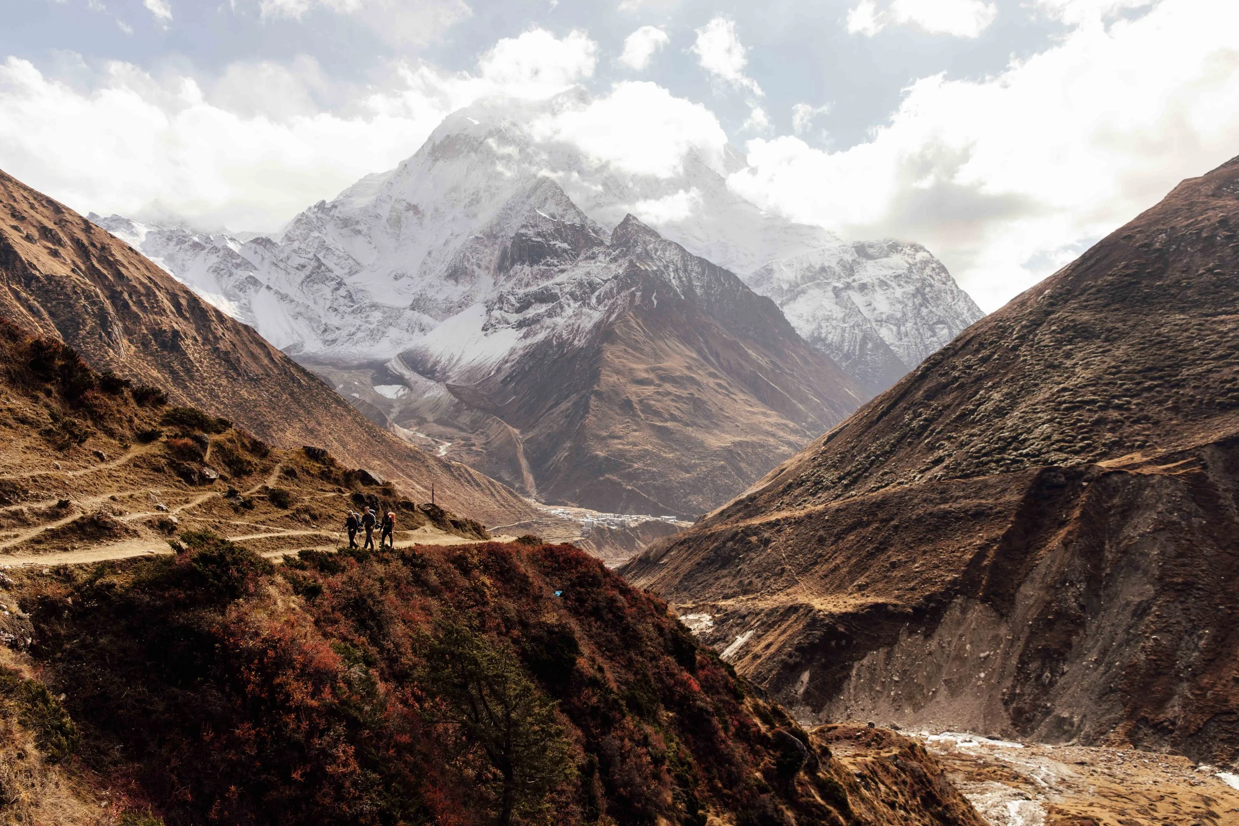
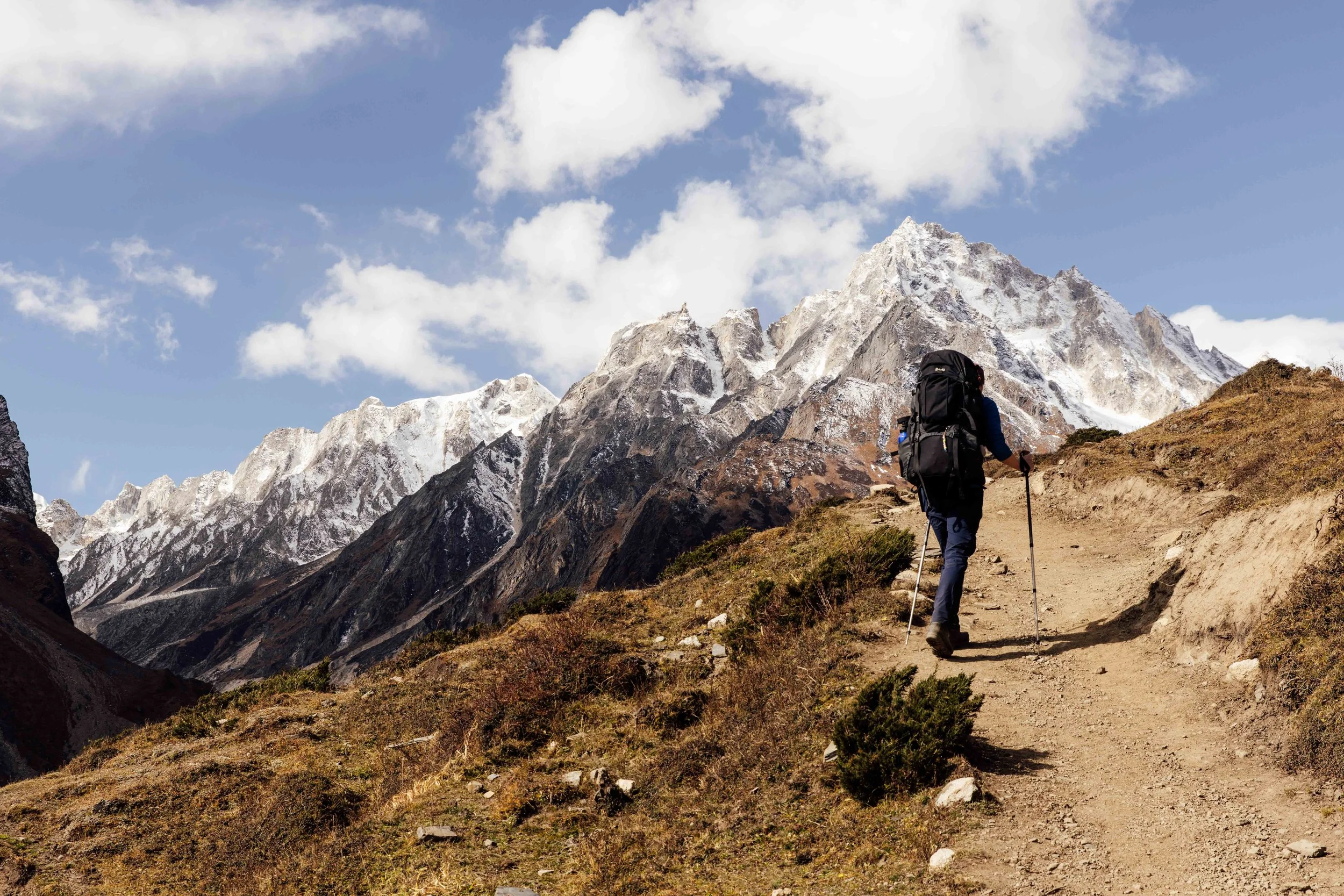
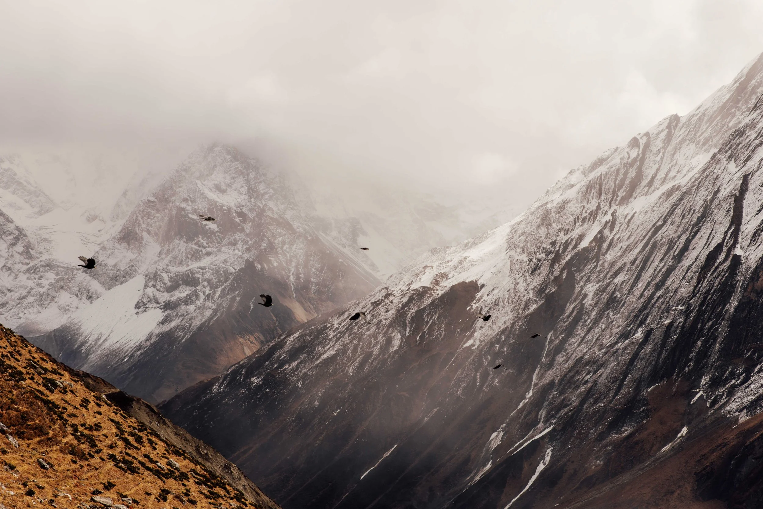
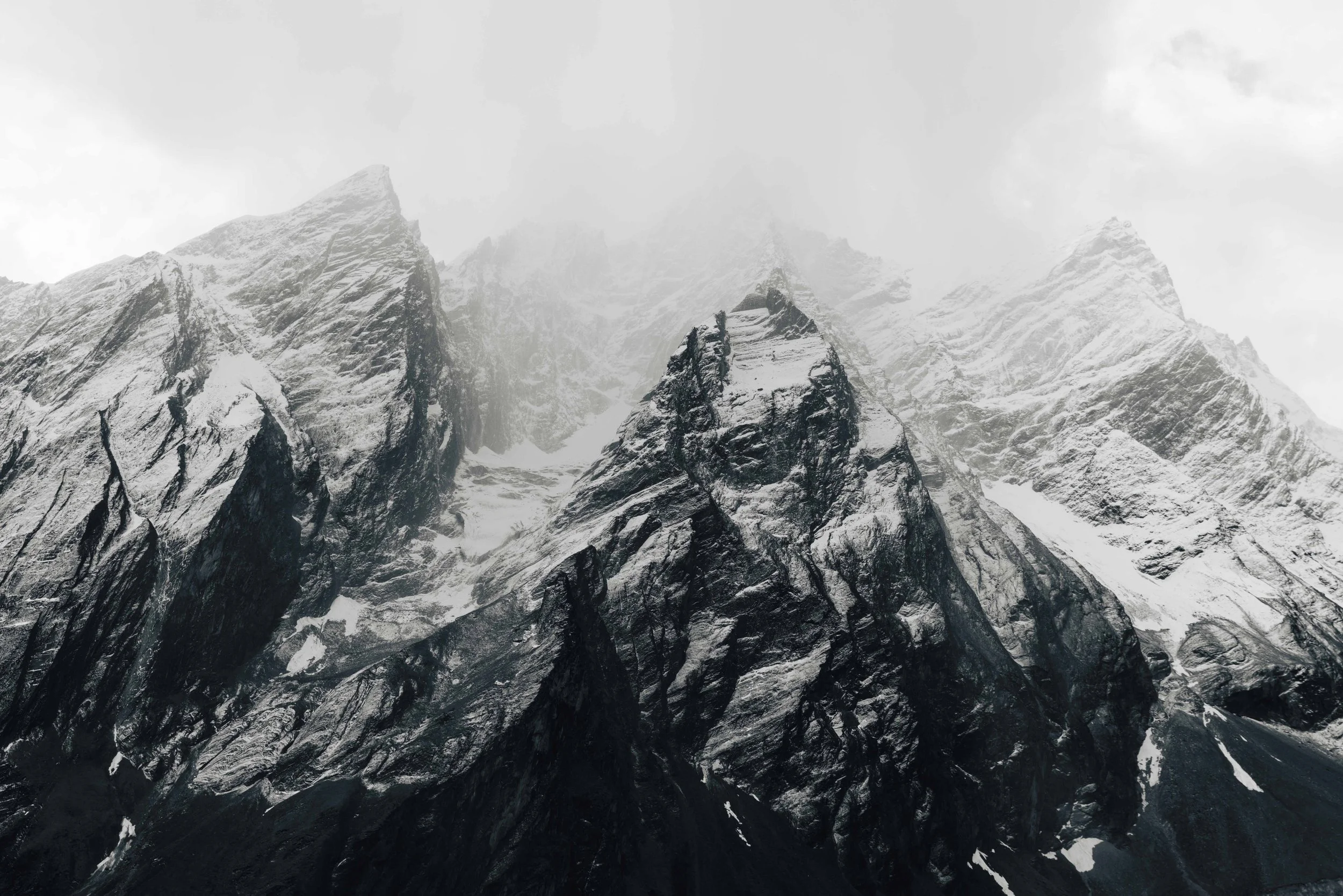
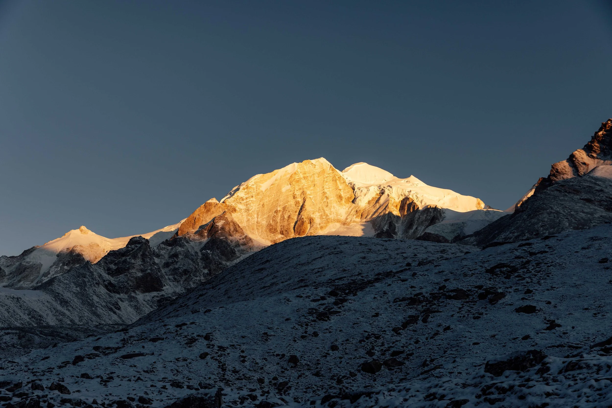
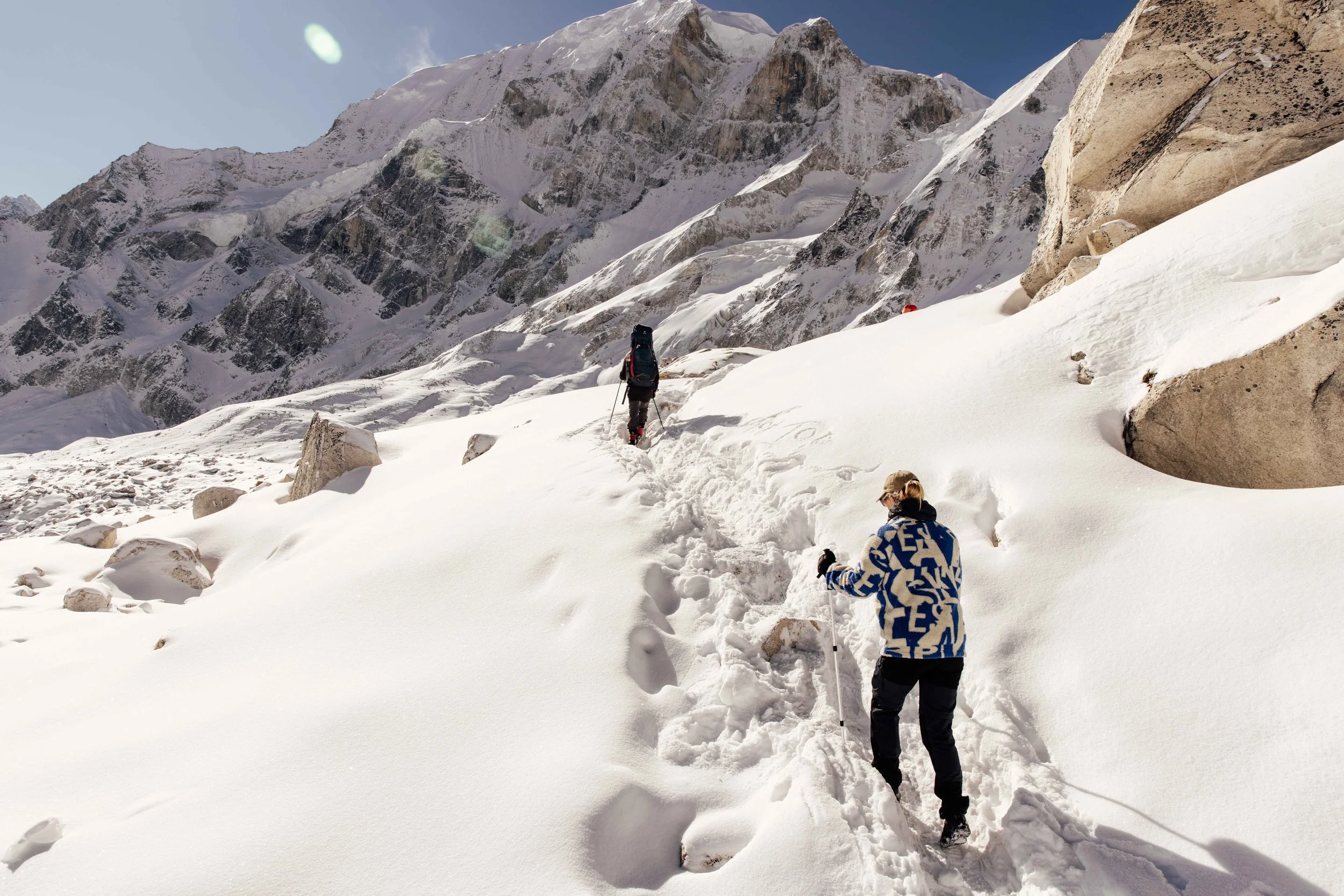
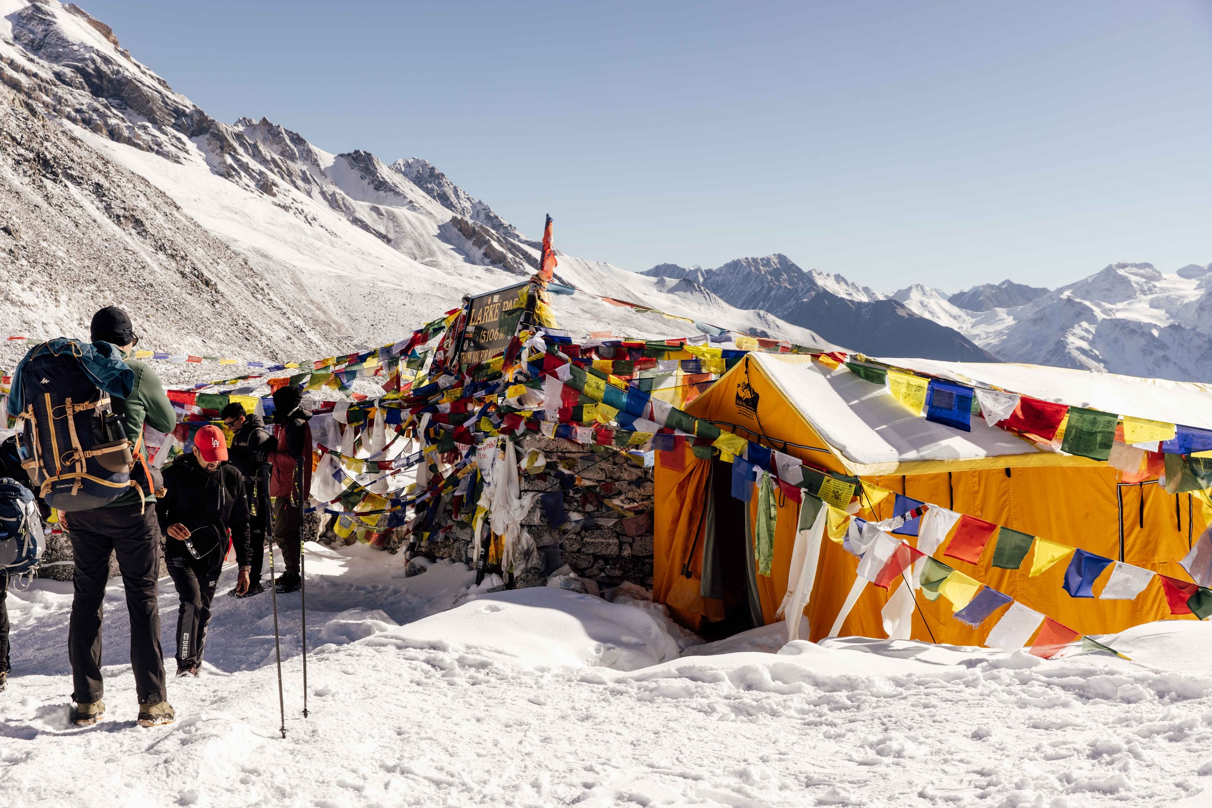
We left at 03:00 in the morning, head torches on, in cold that I have not experienced before. The climb is not technical but it goes on and on across moraine and old snow, four to five hours of it, with false summits that will test your patience. At this height the air holds barely half the oxygen it does at sea level, so a gradient you would stroll up at home reduces you to ten or fifteen steps at a time, leaning on your poles between them. Then you top out among a chaos of prayer flags and the reward arrives all at once: Himlung, Cheo Himal, Kang Guru, Annapurna II standing clean on the horizon.
The pass: Larkya La
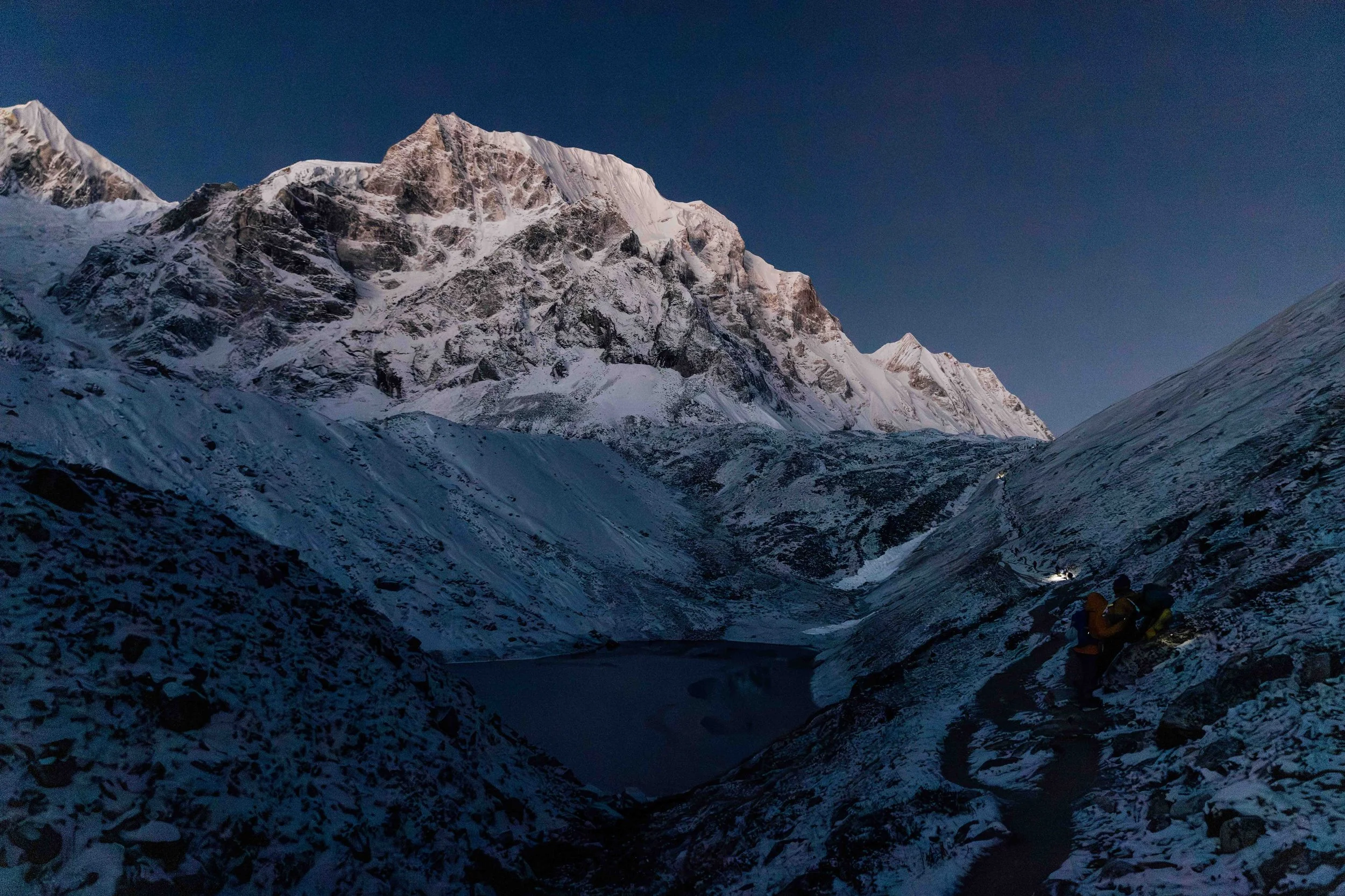
"Day 13. Today we summit Larkya La Pass. The alarm goes off at 02:50, after a restless night from the cold and the altitude. Last night we thought we were smart, prepping our hydration bags for the climb. Frozen solid. It's -20°C outside, and the tag on our sleeping bags only promises down to -10. We start the hike, headtorch on, it’s pitch dark outside, and I can't feel my hands or my toes. This is going to be an intense day."
Days 13 onward: the green world again
The descent is the part nobody really warns you about. It’s roughly 1,500 metres down in one go, steep and loose at the top, and your knees will probably feel it more than your lungs did on the way up. At the bottom, Bimthang is a welcome change: a meadow with a stream, and views back up towards the ice. It feels like a reward you’ve earned.
From there, the drop towards Tilije and Dharapani is fast. Rhododendron forest, apple orchards, warmer air. In just two days, you go from glaciers to farmland.
The realization hit on the last day. At one point we thought we were done, only to find out there were still two more hours of hiking left before reaching the endpoint. By then it barely mattered, we could handle two more hours. What followed was pure relief.
Looking back
This trek changed how I look at challenges now. Not in some abstract way, but in what I know I can physically handle, and how far my perseverance actually goes when it's tested.
If there's one thing I'd tell anyone preparing for something like this: train your legs, but prepare for everything else too, the things you can't really train for back home. Food poisoning, altitude sickness, barely sleeping, the cold, the lack of comfort. You need the physical fitness, but more than that, you need to go in with the right mindset.
But above all, this was an unforgettable experience. I witnessed some of the most beautiful landscapes and nature I've ever seen, and I'd recommend it to anyone.
Practical Info: Manaslu Circuit
How to Get There
Fly to Kathmandu (Nepal), then an 8 to 10-hour overland drive from Kathmandu to Machha Khola (the current main trailhead) by public bus or private jeep.
Permits You'll Need
You need the Manaslu Restricted Area Permit (RAP), Manaslu Conservation Area Permit (MCAP), and Annapurna Conservation Area Permit (ACAP). Your trekking agency arranges these.
Best Time to Visit
Spring (March to May) and Autumn (September to November) for stable weather and clear mountain views.
Guides & Porters
You must book through a registered local agency and use a licensed, government-certified guide. Hiring a porter is optional based on your fitness, but highly recommended.
Friendly Trekkers Adventure organized our guide and porter. They are a family run business providing trekking guide and porter services in Nepal.
The Numbers
14 days. 180 kilometers. 6,684 meters climbed. 5,439 meters descended.
Moments from the trek